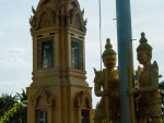
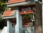
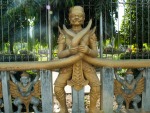
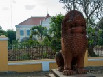
Battambang walking tours, Battambang, Cambodia

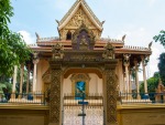
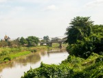
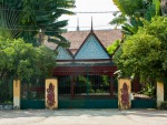
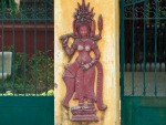
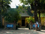
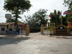
During our stay in Battambang we decided to explore the city by following the free walking tour produced by the Battambang Municipality.

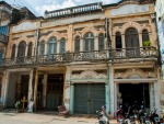
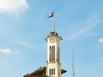
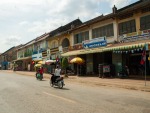
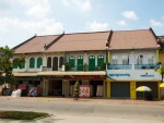
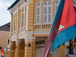
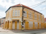
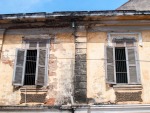
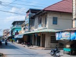
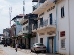
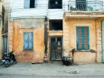
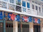
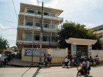
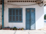
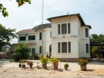
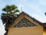
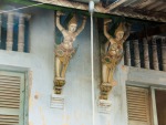
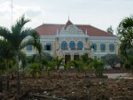
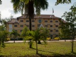
Along the walking tour the city’s French and Khmer history is seen in building’s architectural style.

Whilst interesting, having arrived from the Angkor region, the city was a little underwhelming.

The walking tour is broken into two parts, Central Battambang and South Battambang.

Central Battambang

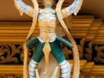
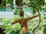
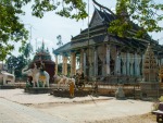
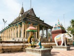
  1. Wat Pipetharam
  2. Building of the Cantonese Association
  3. Psar Nath
  4. Shophouses next to the Chinese Temple
  5. Chinese Temple / Chinese Spirit House
  6. Corner Building and Villa
  7. Street 2 ½: Series of Shop Houses
  8. Chinese School (opposite of White Rose Restaurant)
  9. Buffalo Alley
  10. Battambang Cinema (on Street 2)
  11. School Pi Thnou
  12. Apartment Building
  13. Sangker Cinema and Battambang Warehouse
  14. Department of Land Management
  15. Wat Damrey Sor
  16. Former canal south of Wat Damrey Sor

thydzikgooglemap(http://sonyaandtravis.com/maps/battambang-central-walking-tour-cambodia.xml)

 South Battambang

  1. Exhibition Hall
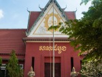
  2. Provincial Museum
  3. Boxing Stadium (Sports Ground)
  4. Post Office
  5. Electricity Company and Department of Water Authority
  6. House for the Vice Governor of Battambang
  7. Provincial Court
  8. Former Prison Location
  9. Wat Kamphaeng and Stupa of 1840
  10. Kamphaeng High School
  11. Sport Centre (Au Circle Sportif de Battambang)
  12. Sala Khaet
  13. Royal Residence (Royal Bungalow)
  14. Department of Tourism
  15. First Concrete Bridge

thydzikgooglemap(http://sonyaandtravis.com/maps/battambang-south-walking-tour-cambodia.xml)

You may download GPX way-points of the above maps by clicking on the GPS icon in the bottom-right corner.

Unfortunately, the Battambang Heritage website is temperamental, you can use these links to download the Central Walking Map and South Walking Map.


Discovering Perth, Geocaching, Perth, Australia

A few weeks ago, Travis and I begun geocaching. I had not heard much about geocaching until Travis purchased his GPS and didn’t stop talking about what it could do, how it could do it, how cool it was etc etc. I figured geocaching would be a good way of exercising, whilst not actively thinking of about exercising and went along for the adventure.

The official Wikipedia definition of geocaching:

Geocaching is an outdoor treasure-hunting game in which the participants use a Global Positioning System (GPS) receiver or other navigational techniques to hide and seek containers (called “geocaches” or “caches”) anywhere in the world.

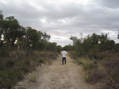
So far we have searched for five caches, with three successful finds. The first three caches we selected were relatively close to our houses, and required a 2-3km walk to the location. Our most recent cache was slightly further (about 7km) from Travis’ house, so we drove and then walked (I know, we could have walked the whole way, but it was getting dark!).

At this stage, we seem to be sufficiently skilled in locating the general vicinity of the cache, however we have spent some amount of time within the 5m radius from the cache (according to the GPS) searching high and low for the cache. Perhaps this is commonly the most difficult part of geocaching, or maybe we have a bit more learning to do!

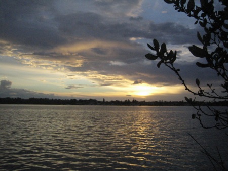
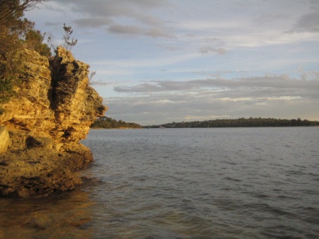
After a few searches, we have so far encountered large eight-legged insects, climbed rocks and suffered minor injuries. The injury was inflicted on Travis whilst exploring a cliff face marked “Cliff Risk Area”. Despite all this, our efforts have rewarded us with beautiful views around places we’ve never explored. It’s also fascinating to see what’s inside a cache, who has been there and where in the world particular items have travelled.

My personal tips for geocaching would be: bring insect repellent, a camera and wear comfy, closed shoes.

Anyone for a game of chess?

Careys Find

We started Geocaching, Perth, Australia

Geocaching is a modern treasure hunting game, instead of using a old school map a GPS navigator is used, instead of an ‘x’ to mark the spot, latitude and longitude coordinates are used.

I recently purchased a basic hand-held GPS, the Garmin eTrex H, a rugged GPS with monochrome screen and then convinced Sonya to join me for some Geocaching.

We have so far tried finding three geocaches, but have only managed to find the treasure at one location, this might be due to our lack of experience.

It is quite a bit of fun, and gives us good exercise. We will update our blog with interesting finds and photos as we look for more treasure.

Follow our geocaching.org profile SonyaandTravis.com.