, Qatar</span>")


, West Bengal, India</span>")


</span><br><span class='slider-span'>From Shiraz to Yazd – Persepolis, Pasargadae and Abarqu</span>")


</span><br><span class='slider-span'>Kathmandu, Nepal - Durbar Square</span>")


</span>")


</span>")


</span>")


</span><br><span class='slider-span'>From Shiraz to Yazd – Persepolis, Pasargadae and Abarqu</span>")


</span><br><span class='slider-span'>The Paris of India, Jaipur, Rajasthan, India</span>")


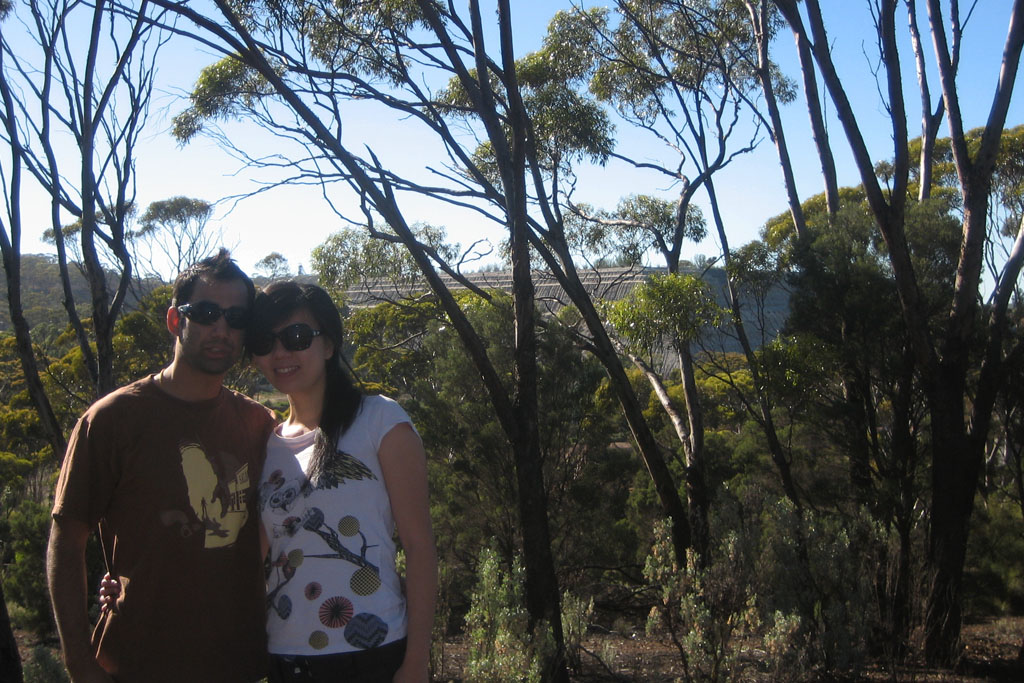
Last Christmas holidays Sonya and I decided to do a little bit of driving from the one end of Australia to the other. And by from one end to the other I mean all the way from Perth to Melbourne and back again for a total of a little over 8000kms.
So why did we chose to spend our holidays driving for over 11 days? Well, we wanted an inexpensive holiday, and during the peak Christmas and New Years period flights are actually about the same as the cost of driving (which is mostly the cost of fuel). The poor Australian dollar meant overseas holidays looked less attractive, and the fuel prices were actually coming down. But the main reasons were it gave us an interesting experience, the opportunity to see a lot of Australia we had never seen before and an opportunity to catch-up with friends and relatives in Melbourne.
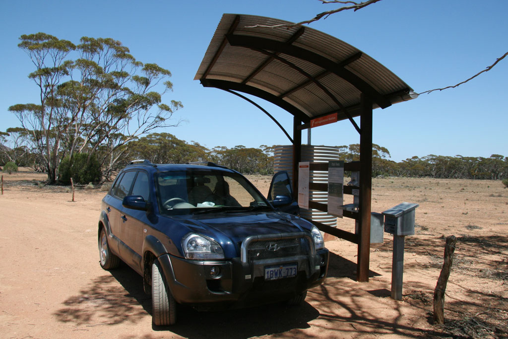
Having camped before, we had a better idea of what to bring and what not too, though we still forgot some key items. As much as I tried to convince Sonya to take my Holden Gemini (are car almost my age), for some reason she preferred her dad’s Hyundai Tucson (a semi four-wheel-drive).
We started our journey on Boxing Day morning aiming to travel roughly 750kms a day, or about 7 to 8 hours.
Day 1: Perth – Northam – Kalgoorlie – Norseman
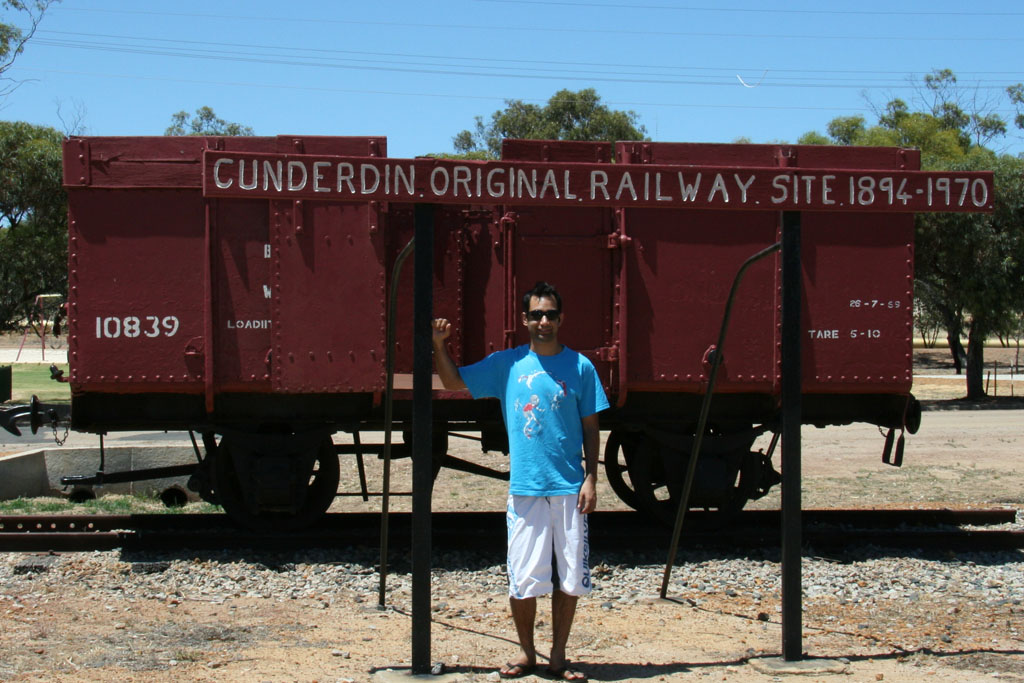
Northam was the first country town 97km north of Perth, and merely served as our first Geocache of our trip. We stopped a little of the main road and found Northam Vista, a scenic lookout. From Northam to Kalgoorlie we followed the famous Goldfields Pipeline, a 530km pipeline originally constructed in1903 to supply water to Kalgoorlie. Along the way we had the opportunity to stop at the original Cunderdin pumping station, No 3 out of 8 original pumping stations now converted to a museum.
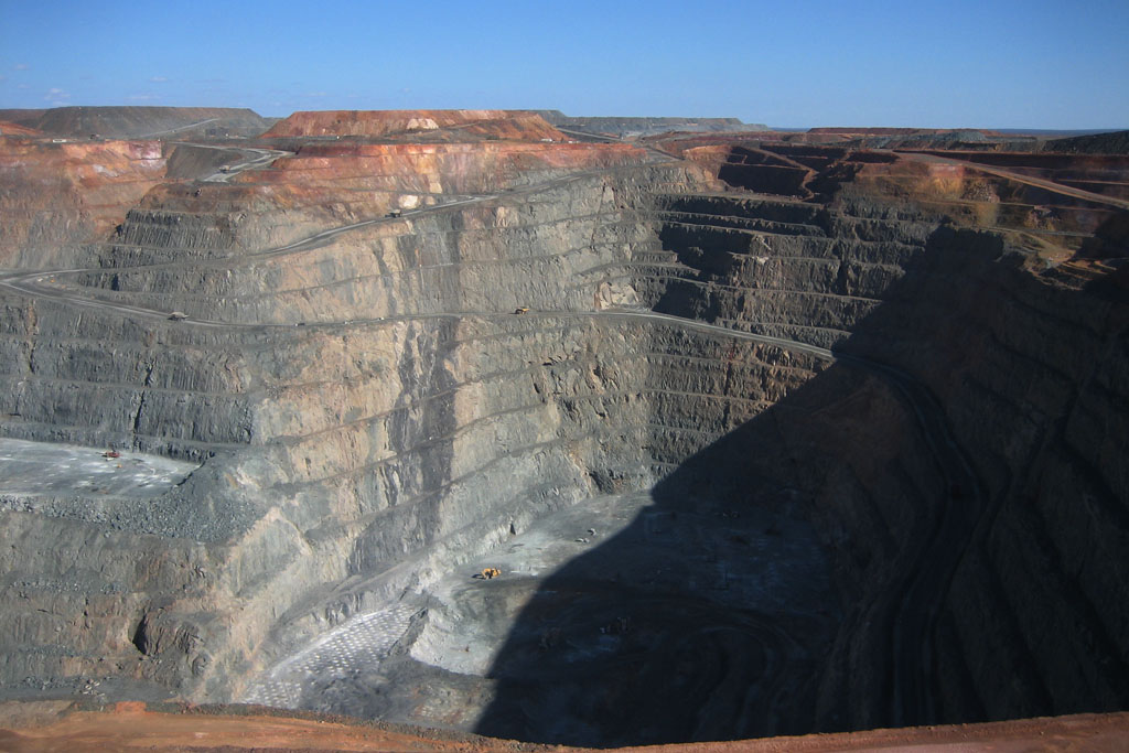
Kalgoorlie is a famous gold mining town and on arrival we immediately went to view The Super Pit, basically, a 294,700,000 m3 hole in the ground. The town of Kalgoorlie was formed in 1893 with the finding of gold by the famous Paddy Hannan, we walked down the main street (Hannan St), taking photos of the old buildings and photos next to Paddy Hannan (a memorial).
From Kalgoorlie we travelled to Norseman and arrived there during sunset, where we camped at a caravan park overnight.


thydzikgooglemap(http://sonyaandtravis.com/maps/our-nullarbor-adventure-perth-norseman08.xml)
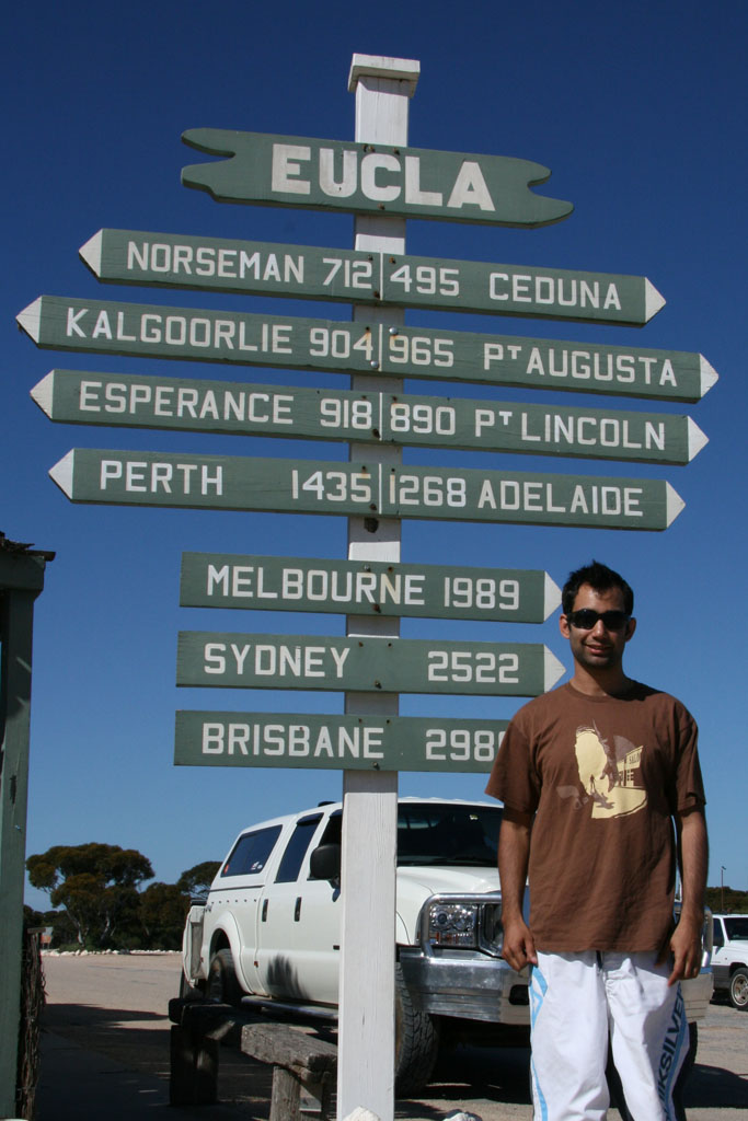
Day 2: Norseman – Balladonia – Eucla (- Border Village – Eucla)
Norseman marked the start of the long hours driving and towns that consisted of no more than a hotel and fuel station. On the outskirts of Norseman we picked up a nice Geocache Buldania Rocks which was a little from the main road.
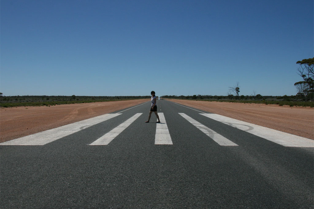
One of the most unusual features of the roads on the Eyre Hwy was large zebra crossings that seemed to exist in the most arid areas. These marked the occurrence of Emergency Landing strips for the Royal Flying Doctors Service. Sonya and I had some fun taking photos of us crossing these zebra crossings.
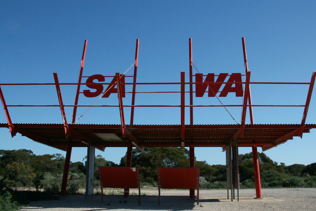
Reaching Balladonia, a ‘town’ made famous by the re-entry of the Skylab Space Station, it marked the start of Australia’s longest straight road at 146.6km. Fortunately, there was a Geocache along the way to allow us to both stop, and at the end of the Straight we reached the town of Caiguna. A little more driving (392km) we reached Eucla. Unsure if we wanted to stay the night in Eucla we drove through the Western Australia / South Australia border to a town rightly names Border Village.
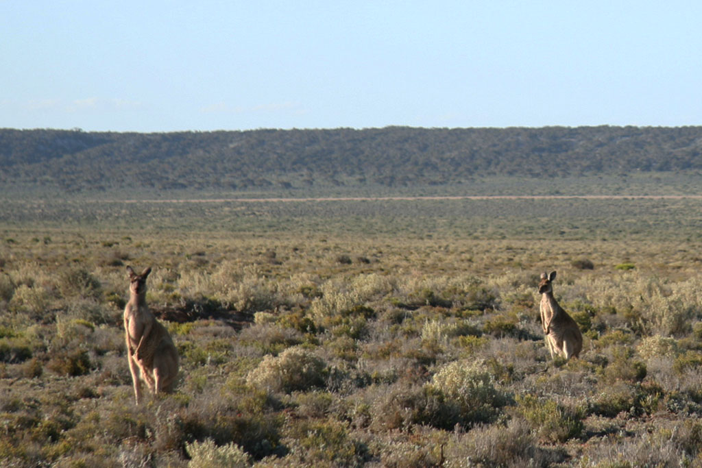
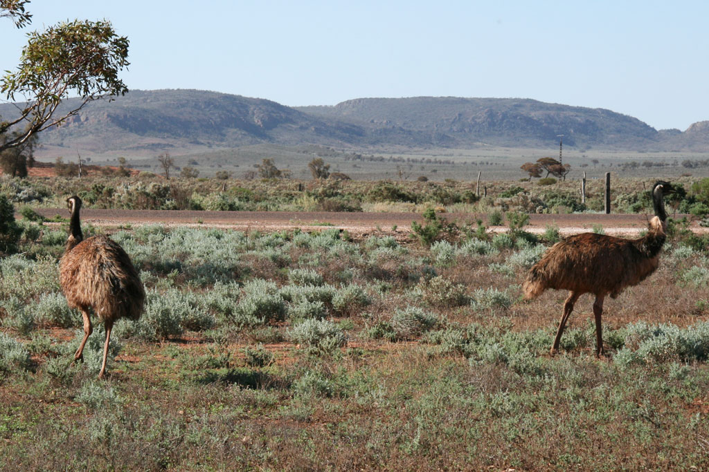
On arrival in Border Village we realised we made the wrong decision and turned back around to Eucla having to pass through the Western Australia customs which took our 2 lemons and 2 onions. After setting up the tent we decided to visit the old Eucla Telegraph Station opened in 1877 and formed the initial town site of Eucla. There and on the way back we managed to see many kangaroos giving Sonya the opportunity to take many photos.

thydzikgooglemap(http://sonyaandtravis.com/maps/our-nullarbor-adventure-norseman-eucla08.xml)
Day 3: The Nullarbor (Eucla – Ceduna – Streaky Bay)
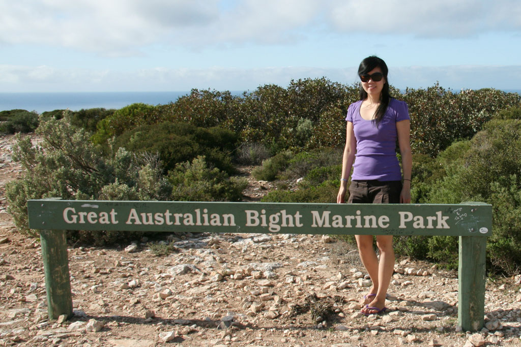
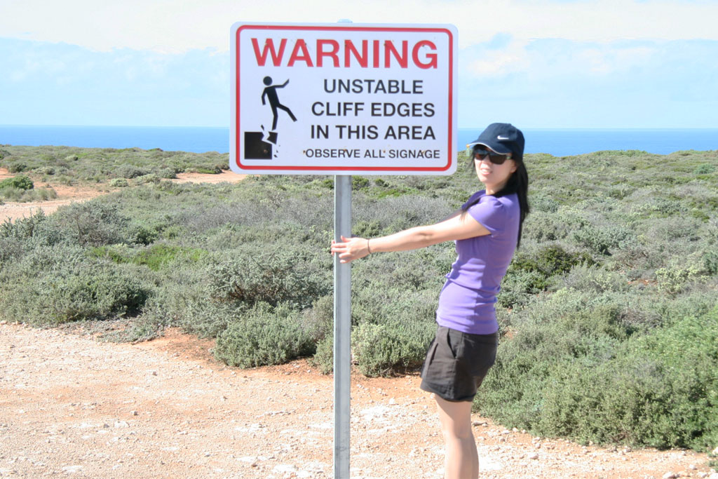
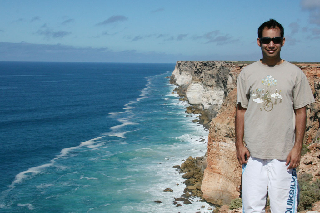
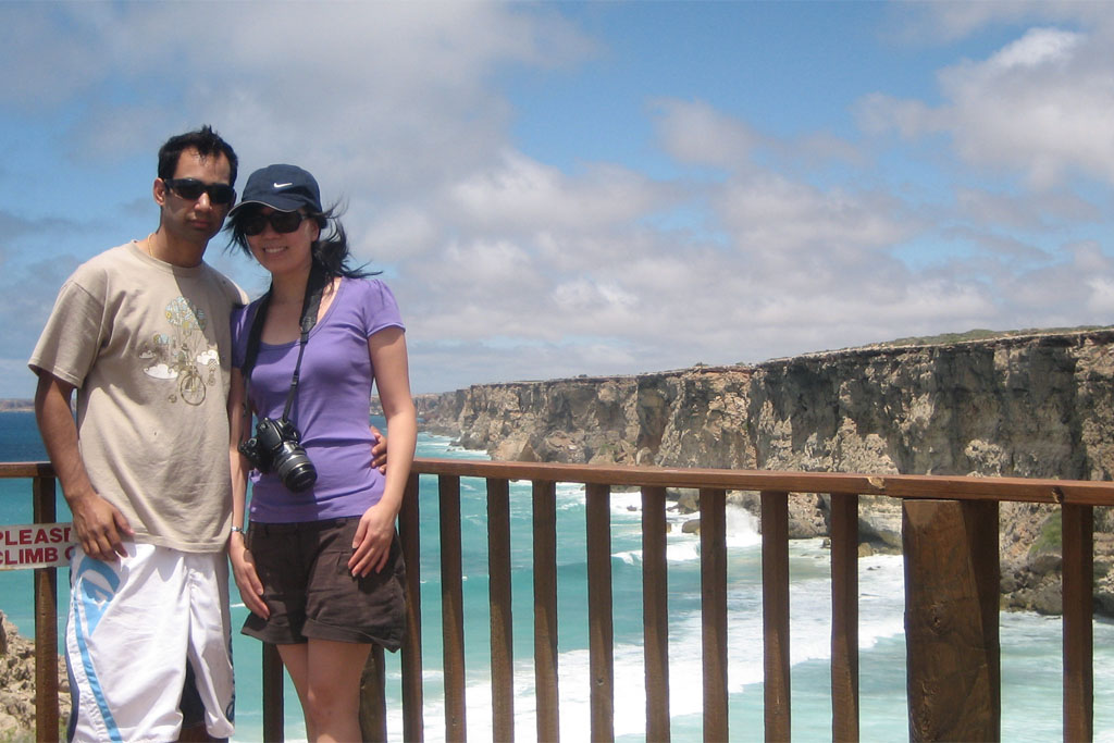
Afterpassing the WA/SA border for the third time, we drove along the Eyre Highway with the Nullarbor National Park on one side and the Great Australian Bight on the other. Even though all the driving is done through the hot, arid Nullarbor Plain, there are about half a dozen stops along the Great Australian Bight with magnificent ocean and cliff face views.
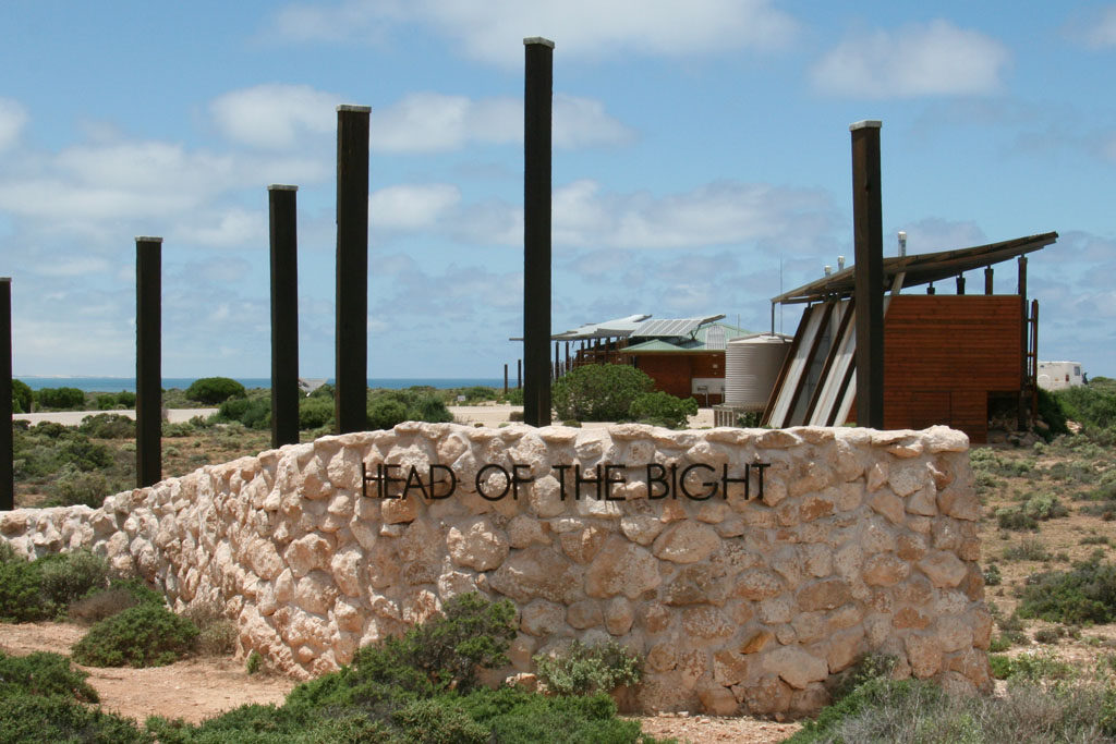
About 200km from Eucla, we reached the Nullarbor Roadhouse, another fuel station in the middle of nowhere. A little further east we reached the Head of the Bight, as the name suggests, this is the tip of the Great Australian Bight. At the Head of the Bight there were some stunning rock faces and vertical cliffs (though not quite as nice as photography stop 4 along the way).
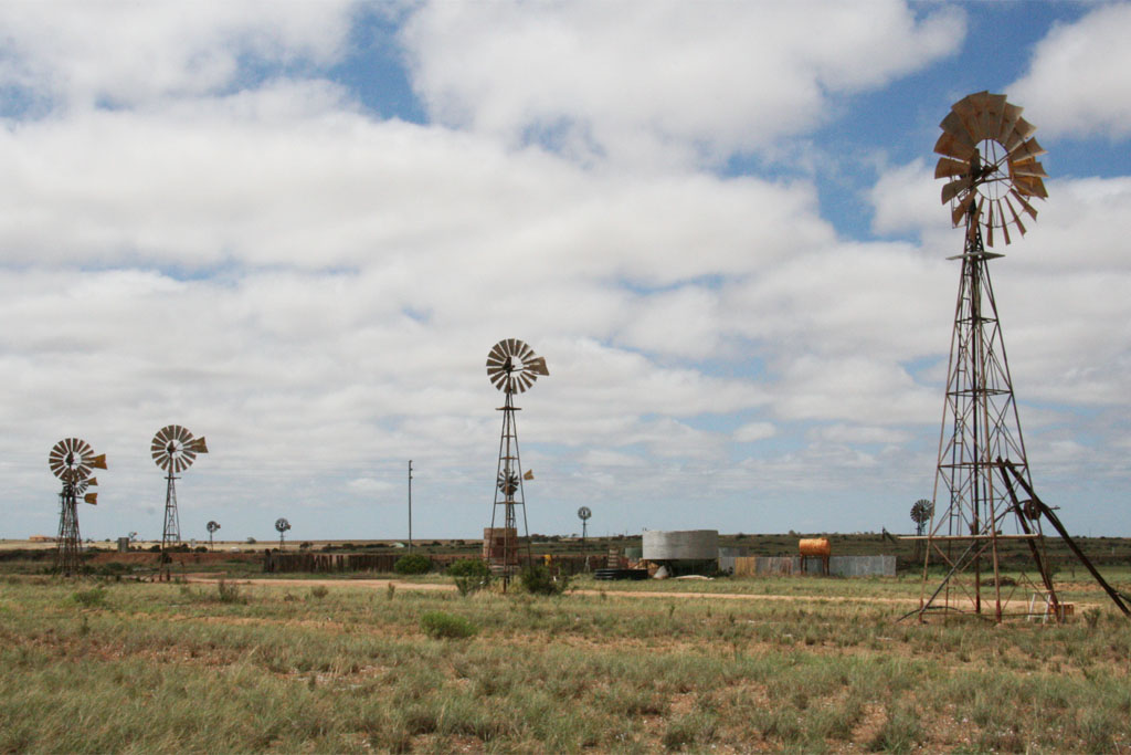
Driving further south, past Fowlers Bay, we reached the lovely small town of Penong. Penong is famous for its windmills, which there where plenty of. Sonya and I both enjoyed taking lots of photos of the iconic Australian structures.
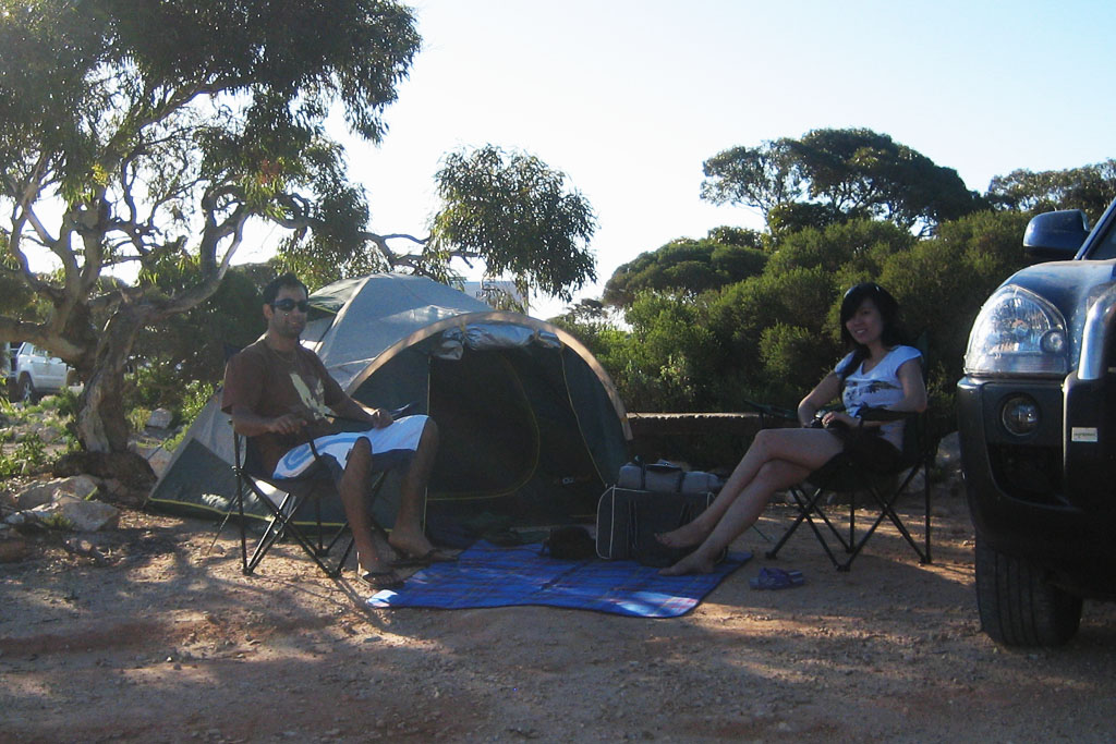
We passed through Ceduna, and through large fields of yellow, which we worked out were Canola (Sonya takes full credit). After taking a number of photos near the fields, we finally reached our final destination Streaky Bay just before sunset. Streaky Bay, by far had the nicest caravan park, with the camping area located on the edge of the beach, pity about the overcast weather that day.
thydzikgooglemap(http://sonyaandtravis.com/maps/our-nullarbor-adventure-eucla-streakybay08.xml)
Day 4: The Gawler Ranges (Streaky Bay – Clare)
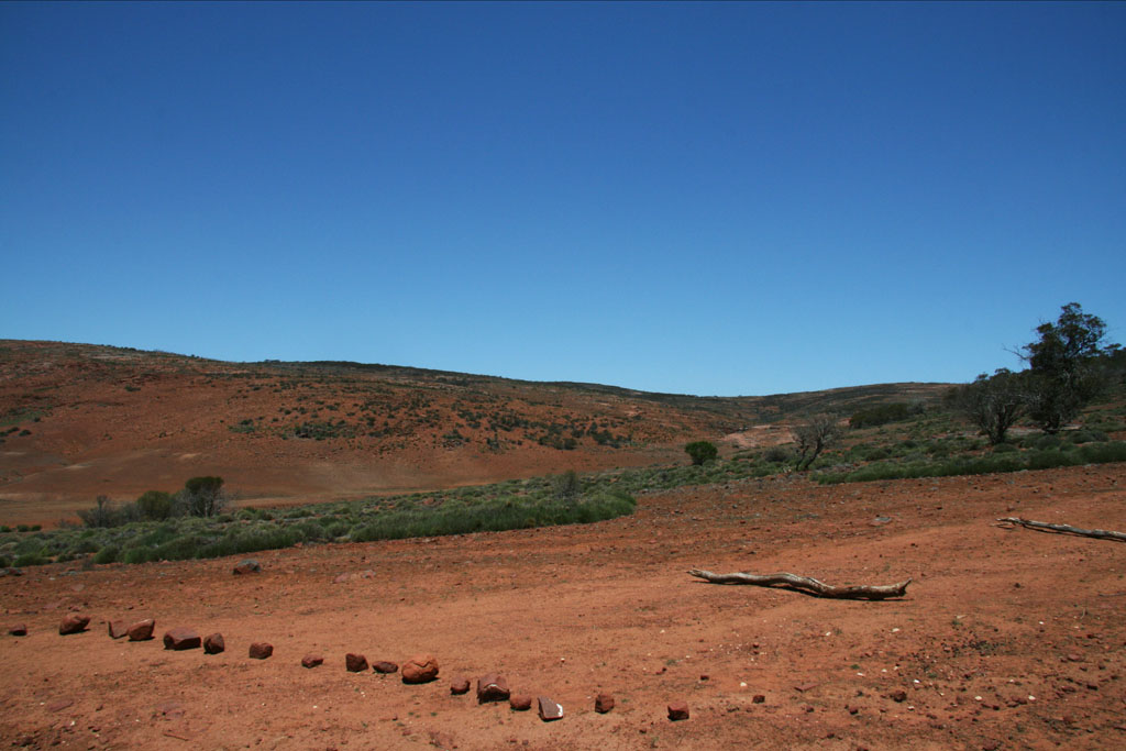
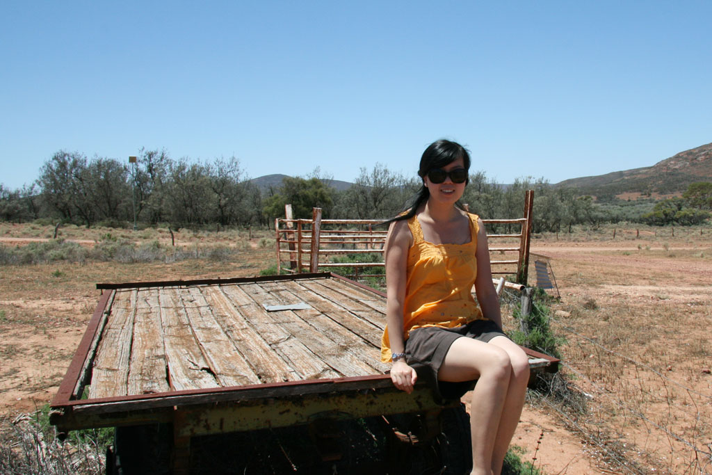
This day was made up of an event that Sonya and I (but mostly Sonya) will never forgot, the Gawler Ranges. The day started out like any other day, from Streaky Bay we drove to Minnipa the entrance to the Gawler Ranges National Park, Sonya was craving some real Australian country, and naively suggested we visit the Gawler Ranges Nation Park. How lovely we thought, I’m sure it we be just like Yanchep National Park back home. We entered park from Wudinna, along Barns Road, through the self-serve entrance station.
Reaching the Old Paney Scenic T-junction, we made a (bad) decision to drive around a little 43km loop, which would start to the left and end back on the right, while passing through Kolay Hut. We realised it would be a 4WD track, but didn’t realise there would be little or no track, predominately large rocks, something our Hyundai Tucson wasn’t really designed for. The drive started of well with a slow but relatively easy drive down the Turkey Flat Track, from there as we drove towards Kolay Hut; we ascended up and around Mt Fairview.
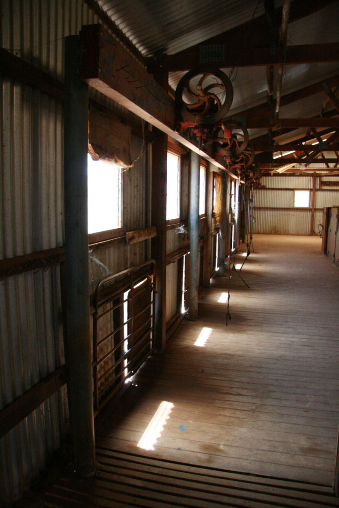
At one point track disappeared to just rocks and I needed to get out of the car to see which way to go, Sonya was about to break down in tears. The rest of the journey was painfully slow, I would count down each km we had to go, taking about 10 mins per each km. Finally, we reached the 2WD track again to our relief, and arrived at the shearing shed where we had a well earned break and took some photos.
We exited the Gawler Ranges through Buckleboo Road, which took us to the town of Kimba. Kimba is famous for two things; the Big Galah and being the town on the Eyre Highway that is ‘Halfway Across Australia’ both witch are located at the same spot. Travelling further East and passing through Iron Knob (famous for iron ore), we reached Port Augusta. Port Augusta is a fairly large town located at the head of the Spencer Gulf. We decided to skip Adelaide, favouring to see it on the way back when we travelled along the coast from Melbourne, so we travelled a little inland along Main North Road which would eventually lead us to some of Australia’s best wine regions; Clare Valley and then further south the famous Barossa Valley.
We did plan the stop at Barossa Valley, but having spent fair too many hours in the Gawler Ranges, we could only reach the town of Clare and being after sunset we decided to stay at a motel for the night.


thydzikgooglemap(http://sonyaandtravis.com/maps/our-nullarbor-adventure-streakybay-clare08.xml)
Day 5: Barossa Valley – Murray Bridge – Ballarat – Melbourne
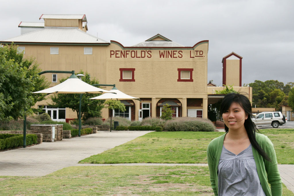
We woke up earlier than normal as we had to do a large amount of driving as we didn’t reach our intended destination the night before. From Clare Valley we headed to Barossa Valley with the intent of stopping at Penfolds (producers of Australia’s most famous wine).
We took some photos in front of the Penfolds building, and wandered inside. It was evident how commercial Penfolds had become with the large range of branded items. Penfolds is also bloody expensive, but they had a nice sale so we picked up three of their cheaper varieties.
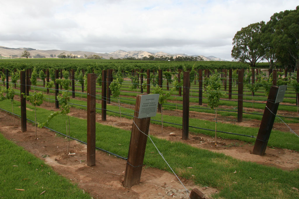
With not enough time to follow all the wineries on the wine trails, Sonya suggested we stop at Jacob’s Creek. We tasted a number of their wines and took some photos near the vineyard. From Barossa Valley we headed straight to Ballarat with minimum stops along the way.
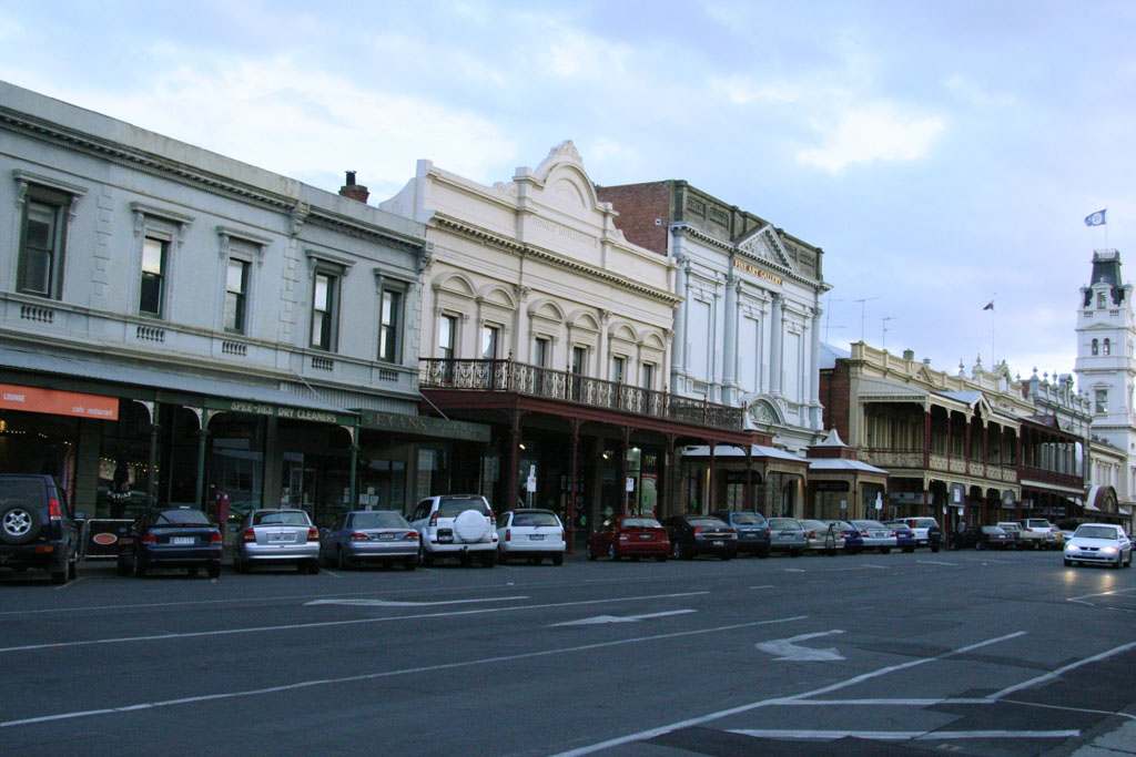
Ballarat is a about 100kms north-west of Melbourne, originally formed during the Victorian gold rush. We arrived around sunset which gave us enough time to walk down the main street snapping photos of the buildings and monuments. When it was too dark we finally made our way to Melbourne.

thydzikgooglemap(http://sonyaandtravis.com/maps/our-nullarbor-adventure-clare-melbourne08.xml)