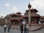
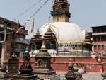
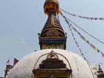
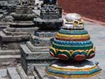
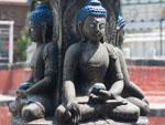
Kathmandu, Nepal – Durbar Square

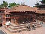
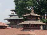
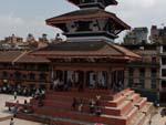
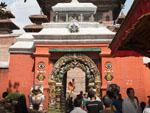
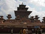
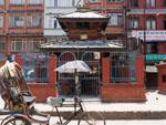
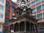
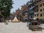
Durbar means palace, and this area is very much the centre of the old city where the city’s royalty were crowned and celebrated. Along the way we had already enjoyed a vast array of Buddhist stupas, Hindu temples, shrines during our Lonely Planet walking tour (which, we noticed, so many other tourists were also doing) however were impressed by the number of temples clustered around Durbar Square. Highlights included;

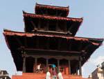
Kasthamandap Temple – the oldest of the buildings in the square, building in the 12th century and which Kathmandu is named after.

Maju Devel – we joined many other Nepalese as we sat on the steps of this 17th century Shiva temple which overlooks the bustling area below.

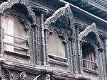
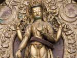
Kumari Bahal – I was quite surprised to read that the Nepalese worship a real-life goddess – the Kumari Devi – and this is the house where she lives. The Kumari is basically a little girl, selected based on a rigid physical criteria and is tested to ensure she is able to select the correct items of her predecessor. She lives in the Kumari Bahal with her family, making occasional appearances, and is worshipped by the people. Once she reaches puberty she becomes mortal and another girl is selected. We somehow managed to visit on a day where she was making an appearance, a brief but fascinating appearance (particularly watching other people’s reactions upon seeing her). She was a normal childlike, young girl, with a face full of makeup.

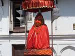
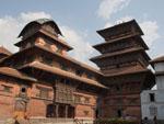
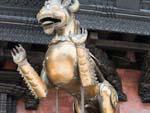
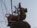
Hanuman Dhoka palace – a massive palace complex guarded by an orange Hanuman statute out the front. Inside the palace are museums commemorating King Tribhuvan, King Mahendra and Birenda. Some extremely erotic carvings were evident in the courtyard of the Basantapur Tower.

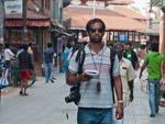
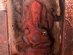
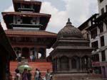
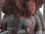
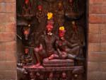
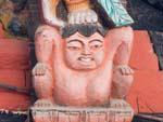
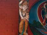
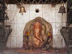
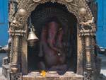
DSLR camera, GPS, Lonely Planet, backpack, Travis' blending in wellWell known Ganesh shrine, the deity with an elephant headKasthamandap Temple at Durbar Square
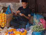
Man making garlands of marigold flowers used by HindusTrailokya Mohan Narayan temple with Garuda kneeling before itMaru Ganesh Mandir
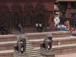
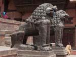
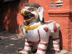
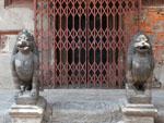
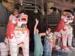
Shiva-Parvati Temple with stone snow lions guarding the entranceShiva-Parvati Temple with stone snow lions guarding the entranceShiva-Parvati Temple in Kathmandu Durbar Square
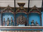
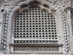
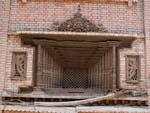
Bhagwati TempleTrailokya Mohan Narayan templeKumari Bahal (House of the Living Goddess) with intricate carved windows
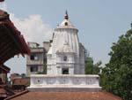
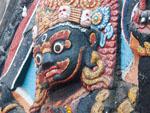
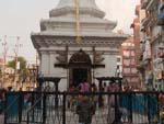
Durbar Square KathmanduGoddess KaliTemple to Kam Dev, a companion of Shiva, with a tall corncob like spire
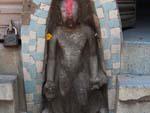
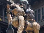
Hanuman statue cloaked in red and sheltered by an umbrellaTaleju Temple Hindu temple entranceSnow lions guarding the entrance to Taleju Temple
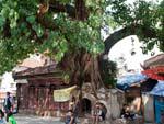
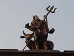
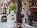
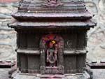
Stone inscription written in fifteen languages to the goddess KalikaA chaitya completely shattered by a bodhi treeHindu deity Shiva holding trident and transport of Nandi the bull
Taleju Temple Hindu temple viewed from the sideGaruda Statue seen outside Taleju TempleKala Bhairab at Durbar Square
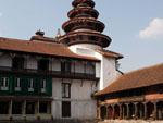
View from the inner court of the Hanuman Dhoka (Royal Palace)View from the inner court of the Hanuman Dhoka (Royal Palace)Intricate wooden windows of the Hanuman Dhoka (Royal Palace)
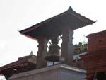
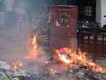
Great Bell elevated atop a white building erected by Rana Bahadur ShahBustling freak street, named due to inhabitants in the sixtiesGarbage lit on fire, a commonality to dispose of waste

Thamel

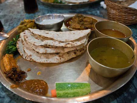
We had a delicious Thakali daal baaht for dinner in Thamel.

Daal bhaat, traditional Nepalese staple consisting of dal and rice

Kathmandu, Nepal – temples and cows

Crossing the China/Nepal border towards Kathmandu

The China-Nepal border crossing was one of, if not the easiest, crossing we had experienced during our trip. It took about five minutes in total including the walk across the half Nepal, half China Friendship bridge.

As expected, a number of Jeep taxi drivers approached us. We were told that there was a bandh or strike in Kathmandu and vehicles were not permitted in the city.  The drivers told us that the trip to Kathmandu, about one-hundred-and-fifty kilometres in total, would take about seven hours, as the Jeep/ute would stop along the way until the bandhs were over (at around 7pm or 8pm). Unsure whether to believe what we were told, but with no other option, we agreed on a fare of one-thousand rupees each to take us both to Kathmandu’s Thamel district. Fortunately, along with us was an English speaking Tibetan business lady who advised us that strikes were common and that it should be over in a few days. The drive was quite pleasant, although we were packed in with four other passengers and could start to feel the pre-monsoon humidity increasing. It was hard to believe that only that morning we were at Everest Base Camp where it had been snowing. It was a bumpy ride, through picturesque lush green mountainous jungles.  Every now and then the driver would pick up additional passengers who would sit in the back of the ute, or if their journey was shorter (or the back full), hang off the side of jeep (i.e holding on through the wound-down windows!). Road safety seemed to be of no concern to the Nepalese.

We stopped for a meal of flat, broken rice, chicken curry and tea (which the Tibetan lady kindly treated us), before the driver and group decided it was safe to enter Kathmandu.

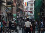
By the time we reached our hotel it was about 8pm. We found out that the city faces some major challenges with electricity and our bathroom had none (until 11pm) so we couldn’t shower.  The internet was also not working due to the electrical outage, so instead we walked down the brightly lit tourist-friendly, Thamel Street. It reminded me a lot of Khao San Road in Bangkok – Money changers at every corner, hippy gear, jewellery and all sorts of souvenirs.  We bought a couple of mangoes, some books and headed back to our guest-house.

Walking tours

The following morning, after we had applied for Indian visas, we decided to do a walking tour of south Thamel and visit Durbar Square in Kathmandu. The strike was still ongoing which meant that during the day, there were no vehicles on the road, nor were the shops open.  However, on the upside tickets to the Durbar Square complex were not required, and we were able to wander around free of charge.

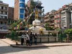
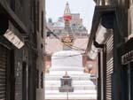
Central stupa of Thahiti ToleShigha Bihar with Kathesimbhu Stupa and surrounding smaller stupasShigha Bihar with Kathesimbhu Stupa
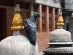
Small stupas of Shigha BiharBuddha stone statues inside the Shigha BiharBird resting on a stupa inside the  Shigha Bihar
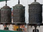
Hindu temple found inside the Shigha Bihar courtPrayer wheels located around the Kathesimbhu StupaVarious colourful stone reliefs found on the circumference of the Kathesimbhu Stupa
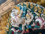
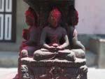
Stone Buddha statues found in the Nag BahalShiva sitting with Parvati on Mt Kailash, her hand resting proprietarily on his knee in the pose known as Uma MaheshwarColourful deity statues located around the Saraswati Shrine
Colourful deity statues located around the Saraswati ShrineSikha Narayan Temple with Rickshaw parked at the entranceStanding Buddha statue dates from the 5th or 6th century
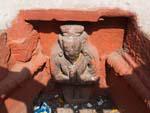
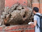
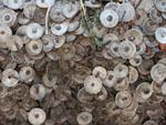
Travis confused with the lump of wood which thousands of coins have been nailedClose-up of coins nailed into lump of woodGanesh statue, is a small recessed area
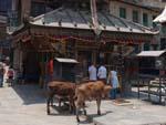
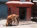
Triple-roofed Ugratara Temple with two cows in the frontBrass lions at the entrance to the Ugratara TempleThree-storey Annapurna Temple
Narayan shrine with two cows in frontBuddha states outside the Seto Machhendranath TemplePigeons sitting atop one of a pair of lions at the Seto Machhendranath Temple entrance
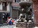
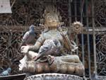
Brass Buddha statue with resting PigeonsIntricate brass Buddha relief near Seto Machhendranath TemplePigeons resting on a stupa near Seto Machhendranath Temple
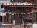
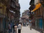
Quite streets of Kathmandu due to strikesStone Shiva TempleMetal lions of the Akash Bhairab Temple
Intricate brass Ganesh shrineThe long, rectangular courtyard of the Itum BahalKichandra Bahal or Keshchandra Paravarta Mahar Bihar, one of the oldest bahals in the city
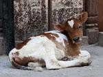
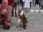
A chaitya has been completely shattered by a bodhi treeStone Buddha statue in the Itum Bahal courtyardCalf found on the streets of Kathmandu
Children ringing the bells of Nara Devi TempleWooden window called deshay madu in Nepali, which means there is not another one like itEntrance to the Yatkha Bahal with stupa visible
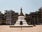
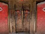
Yatkha Bahal courtyard with white stupaIntricate door found in Yatkha Bahal courtyardAnother cow on the streets of Kathmandu, a regular occurrence
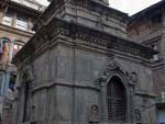
Stone Shiva TempleBrass lion at front of Bhimsen TempleSmall stone shrine
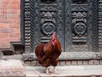
Triple-roofed Jaisi Deval Temple on seven level baseChicken standing outside an ornate metal doorWhite five metre high Machhendranath Temple

South from Thamel to Durbar Square

  1. Thahiti Tole
  2. Nateshwar Temple
  3. Kathesimbhu Stupa
  4. Nag Bahal
  5. Parvati on Mt Kailash
  6. Sikha Narayan Temple
  7. Saraswati Shrine
  8. Buddha statue
  9. Wood with coins
  10. Ugratara Temple
  11. Haku Bahal
  12. Annapurna Temple
  13. Krishna Temple
  14. Seto (White) Machhendranath Temple
  15. Akash Bhairab Temple
  16. Kichandra Bahal
  17. Nara Devi Temple
  18. Dance platform
  19. Narsingha Temple
  20. Wooden window
  21. Bhulukha Dega Temple
  22. Yatkha Bahal

South from Durbar Square

  1. Kasthamandap
  2. Singh Sattal
  3. Large tanklike hiti
  4. Bhimsen Temple
  5. Kohiti water tank
  6. Jaisi Deval Temple
  7. Ram Chandra Temple
  8. Tukan Bahal
  9. Shikhara Temple
  10. Musum Bahal
  11. Ta Bahal
  12. Machhendranath Temple
  13. Hari Shankar Temple
  14. Vishnu Narayan Temple
  15. Adko Narayan Temple

How high did we go? – Journey through Tibet and the Himalayan mountain range

After completing the Lhasa to Everest Base Camp to Nepal journey, through numerous mountain passes and eventually the Himalayan mountain range, I was wondering how high did we in fact go. Depending on which books you read, or which markers you use you are advised of different elevations, I had my GPS on me through the whole journey and found that it was a little off to what people told me, post-researching on Wikipedia even has something else.

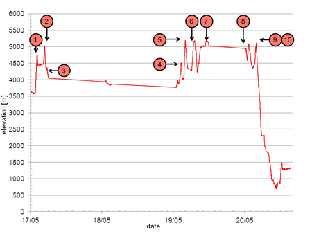
So using my GPS as absolute through the whole journey, I compiled a list of significant points in chronological arrival order;

  1. Kamba-la pass (4746.17)
  2. Karo-la pass (5022.55)
  3. Simu-la pass (4366.45)
  4. Tropu-la pass (4517.37)
  5. Gyatso-la pass (5193.18) [maximum trip elevation]
  6. Pang-la pass (5185.01)
  7. Everest Base Camp (5174.43)
  8. Lamna-la Pass (5084.07)
  9. La Lung-la Pass (4990.82)
  10. Tong-la pass (5113.39)

Elevation plot through Tibet with significant passes

I was slightly disappointed to see that little-known Gyatso-la pass was the highest we had been at 5200 metres and Everest Base Camp at 5175 metres was a little lower. Interesting was also that we descended 4500 metres in roughly ten hours from Everest Base Camp to the China-Nepal border which sits in a natural valley.

(Wikipedia states Everest Base Camp as 5150 metres and Gyatso-la pass as 5520 metres)

Mount Everest and Everest Base Camp, Tibet

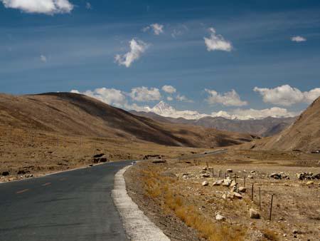
This was the day I had been waiting for. Finally we would have a glimpse of Everest and even camp at Everest Base Camp. We travelled through two passes, minor Tropu-la pass at 4500 metres and the major Gyatso-la pass at 5100 metres, this marked the entry into the Everest National Park but more importantly this would be a contender for the highest point above sea level we had ever reached. A couple of kilometres from the pass and we got our first glimpse of Everest, a pointy snow capped mountain in the distance, distinctly higher than those mountains around it.

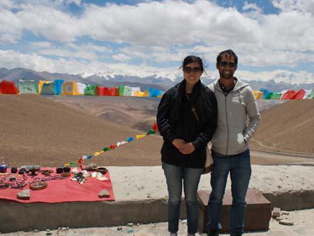
Further into the Everest National Park, we reached the Pang-la pass at 5050 metre. This pass offered the most amazing views of Everest and smaller sibling Himalayan mountains. There was a little bit of cloud cover but we were extremely lucky that the majority of time we had clear views of Everest’s peak. The guide mentioned that this was the nicest views we would see, so we took our time enjoying them.

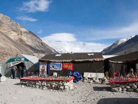
The remainder of the journey leading to Everest Base Camp was unsealed dirt roads, which finally took advantage of the giant Toyota Land Cruiser we were using. After stopping briefly at Rongbuk Monastery, the world’s highest monastery at 4900 metres, we reached Everest Base Camp. Well, it wasn’t quite Everest Base Camp, but a tourists camp, known as “Black Tent Camp” (due to the colour of the tents), this was the furthest tourists could sleep without having to pay the hefty Everest permit fees. It was a few kilometres from the actual base camp. The tourists camp was extremely touristy, even featuring a China Post, holding the record for world’s highest post box, naturally we had to send a few post cards to loved ones.

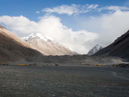
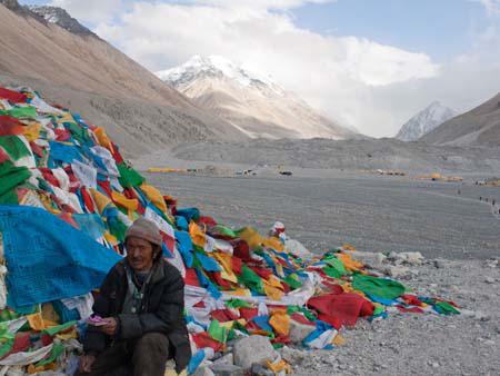
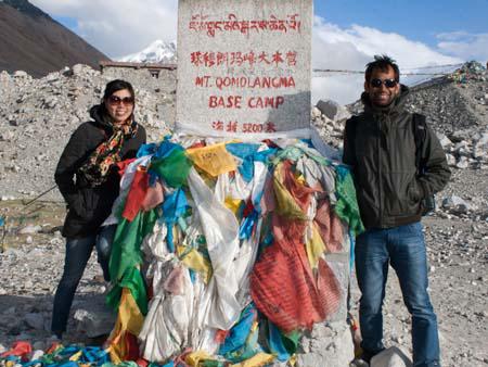
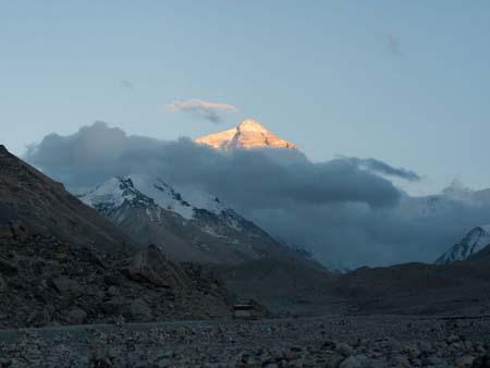
After we had settled in our tent, we made our way onto the mandatory “eco” bus, to Everest Base Camp. Once there we found an altitude marker stating “Mt. Qomolangma Base Camp 5200m” (the Tibetan name for Mount Everest). An adjacent hill was covered in prayer flags, and if not obscured by clouds would have provided the closest views of Mount Everest. We absorbed as much of the views as we could in the chilly winds before heading back to the camp. At sunset we were given one last unobstructed view of the mountain, which at this time of day, highlighted its peak in a golden colour.

That night we had one of the most restless sleeps on the whole entire trip. Firstly, in order to stay warm throughout the night the caretakers light a fire of dried yak and sheep dung, whilst most of the soot leaves through the chimney, there is a considerable amount lingering in the tent. Secondly, at above 5000 metres, the air becomes considerable harder to brief, we had purchased twenty minute disposable compressed oxygen to use, and during the night Sonya had woke me up as she was having trouble breathing. One of the members of the six person Hungarian group who was also sharing the tent with us, had it particularly bad during the night, constantly coughing and using the oxygen.

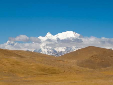
We woke up to find it snowing outside, views of Everest were long gone. We left the camp to make the long five hour journey to Zhangmu, the last Chinese town situated before the Nepal border. We passed through three passes, Lamna-la pass, La Lung-la pass at 4845 metres and Tong-la pass at 4950 metres. Whilst, we wouldn’t catch a glimpse of Everest again, winding through the Himalayan Mountains we saw Mount Shishapangma at 8012 metres, Tibet’s claim of an above 8000 metres mountain that exists wholly in China.

As we moved closed the Nepal, it was amazing watching the scenery change to lush dense jungle. We had descended 4500 metres that day, from snowing mountains in the morning to tropical jungle.
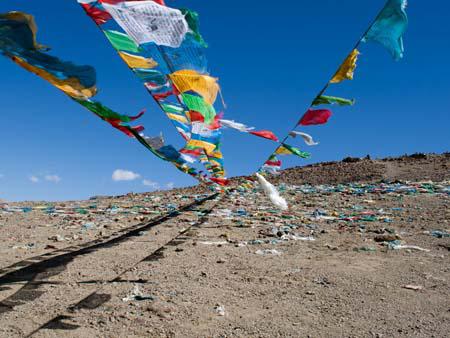
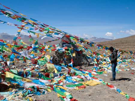
Prayer flags marking Tropu-la pass at 4500 metres
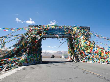
Gyatso-la pass at 5100 metres and the entrance to Everest National Park
Elevation marker hidden between rows of prayer flags, Travis is checking GPS elevation
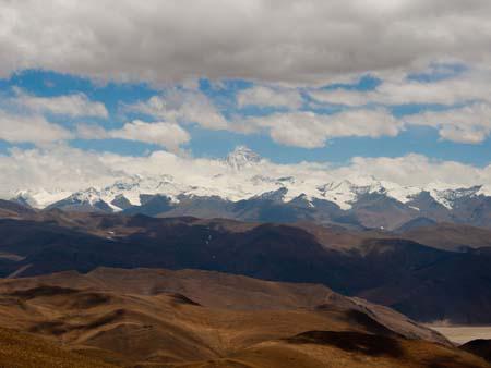
Along the friendship highway, the first views of Mount Everest
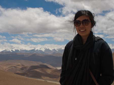
Sonya and Travis at Pang-la pass, the Himalayan Mountains visible in the background
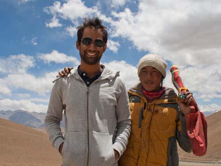
Travis with a Tibetan selling prayer flags
Sonya with the tip of Mount Everest visible in the background
View Mount Everest from Pang-la pass at 5050 metres
View of the Himalayans and Mount Everest from Pang-la pass at 5050 metres
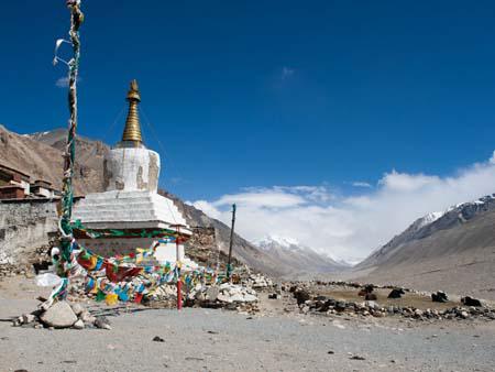
Chorten outside Rongphu the highest monastery in the world, in the background is a cloud covered Everest
Black Tent Camp the tourists Everest Base Camp, a China Post is visible to the left
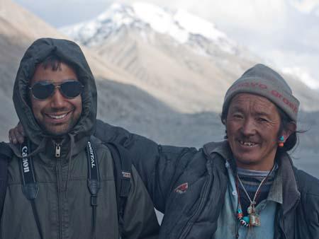
Travis and a Tibetan at Everest Base Camp
View of cloud covered Everest from Base Camp, yellow tents belong to the climbers
Tibetan next to some prayer flags with a cloud covered Everest in the background
Sonya and Travis at the Everest Base Camp market, 5200 metres
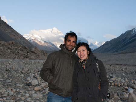
Travis and Sonya with the tip of Everest visible in the background
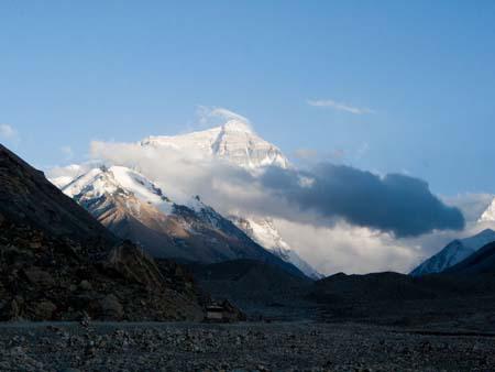
Mount Everest viewed from Everest Base Camp Tibet side
Mount Everest seen at sunset when its highlighted golden
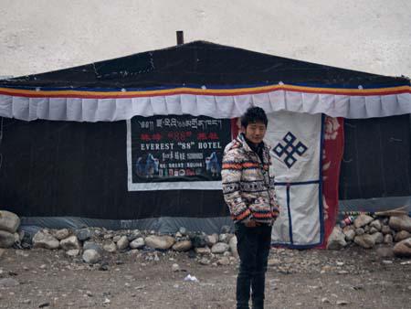
Our guide Demdum in the morning outside our tent Everest 88 Hotel
Mount Shishapangma at 8012 metres
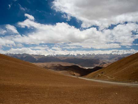
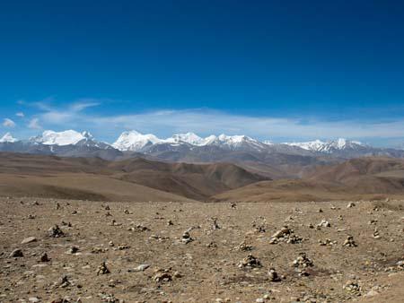
View of the Himalayans when approaching Nepal
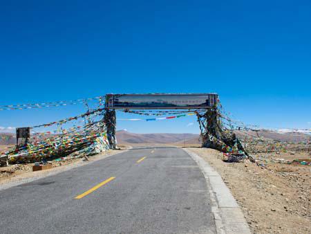
Tong-la pass at 4950 meters, the last pass before leaving Tibet