


</span>")


, Delhi, India </span>")


 Medressa part of the Registan</span><br><span class='slider-span'>Samarkand, Uzbekistan</span>")


</span><br><span class='slider-span'>Around Agra, Uttar Pradesh, India</span>")


</span>")


</span><br><span class='slider-span'>From Shiraz to Yazd – Persepolis, Pasargadae and Abarqu</span>")


, West Bengal, India</span>")


</span><br><span class='slider-span'>Tehran - the capital of Iran</span>")
, West Bengal, India</span>")


 and Summer (Norbulinka) Palaces of the Dali Lama, Lhasa, Tibet</span>")


</span><br><span class='slider-span'>The Winter (Potala Palace) and Summer (Norbulinka) Palaces of the Dali Lama, Lhasa, Tibet</span>")

</span><br><span class='slider-span'>The Winter (Potala Palace) and Summer (Norbulinka) Palaces of the Dali Lama, Lhasa, Tibet</span>")
, China</span>")


</span>")


After about five days in Melbourne we started our long drive back to Perth. We planned to follow the coast on the way back providing a change of scenery, and due to the extra distance decided to take give ourselves a little over six days of travelling time.
Day 1: Great Ocean Road drive (Melbourne – Geelong – Apollo Bay – Port Campbell)
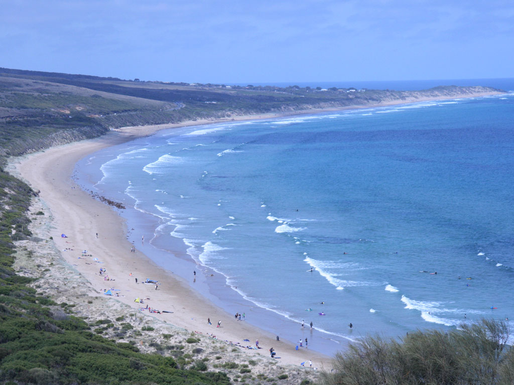
We left Melbourne on the morning of 4th January to start our long journey back to Perth. Our first stop was Urquhart Bluff where we stopped to have lunch. Urquhart Bluff, located 200m above sea level gave us a nice view of the beaches while we enjoyed lunch.
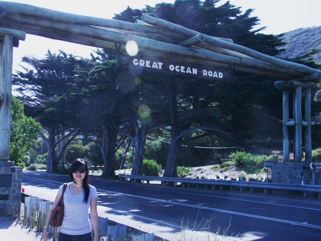
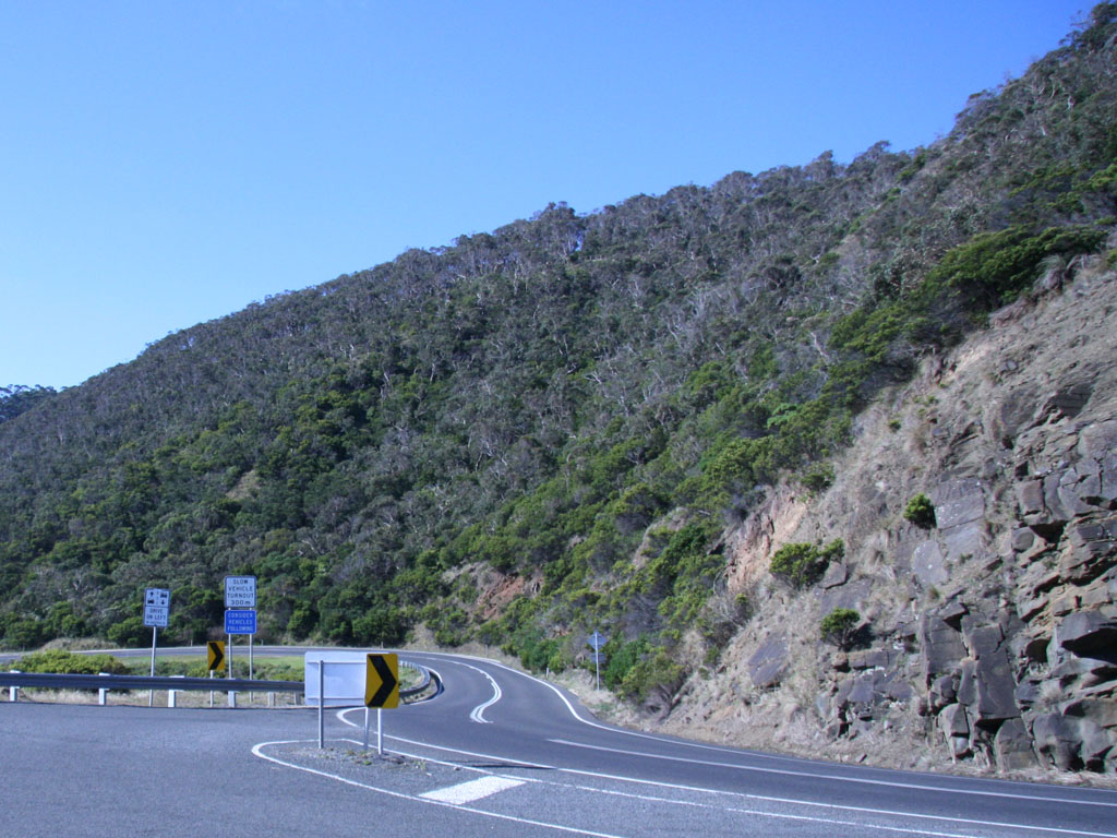
Continuing along Great Ocean Road we stopped at the Split Point Lighthouse overlooking Airey’s Inlet. After the lighthouse, we came across a more official overpass signage for the Great Ocean Road, naturally we stopped to take more photos of the sign and the statues. The Great Ocean Road is as you would expect a great road that follows the ocean. The 243km road is interesting for the first hour, but after a while the scenery becomes repetitive and the bends inconvenient. A journey that should only take a little over two hours turns into an over six hour ordeal, and for us the whole day.
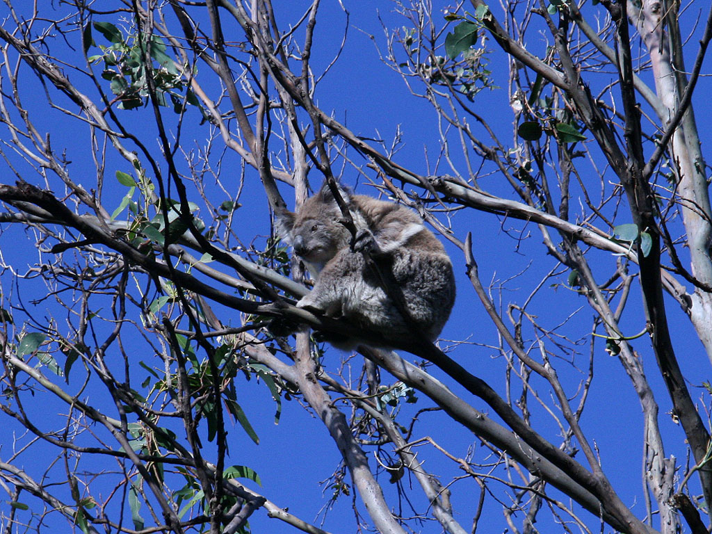
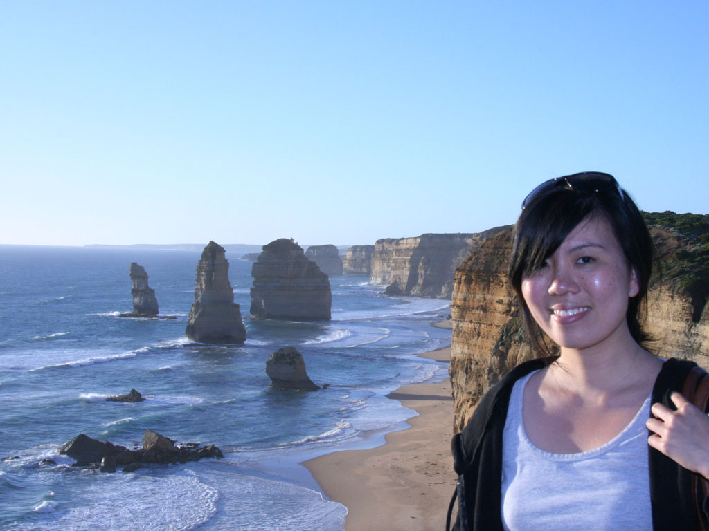
Some of the interesting things on the way were some koalas in the trees on the side of the road which were quite an attraction; we also managed to catch the Twelve Apostles before sunset. The Twelve Apostles have been highly touristized to the extent of making accommodation extremely difficult to find in nearby Port Campbell. That night we set up tent on the town’s recreation oval, but at least it was free.

Day 2: Port Campbell – Warrnambool – Portland – Mount Gambier – Kingston – Victor Harbor
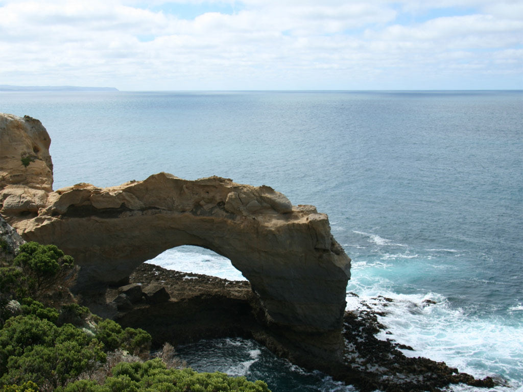
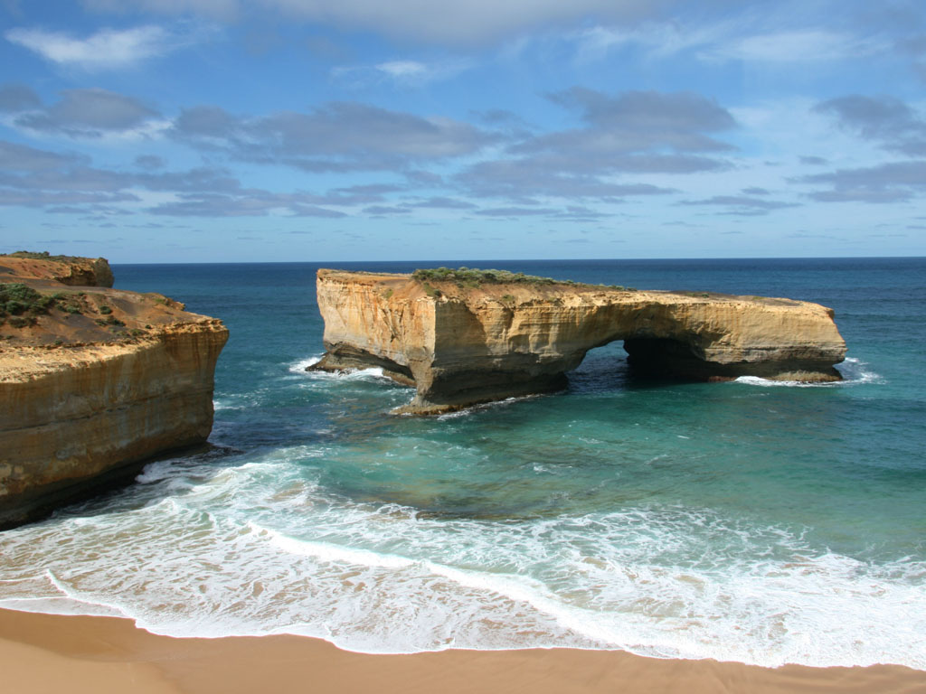
Our first stop for the day were two arches; The Arch and London Arch, both natural arches formed by the erosion of limestone, followed by two bays; Bay of Martyrs and Bay of Islands. The end of Great Ocean Road brought us to the large town of Warrnambool. As we drove around we found an interesting sign ‘Granny’s Grave’ which we found out was the grave of the first white woman buried in Warrnambool.
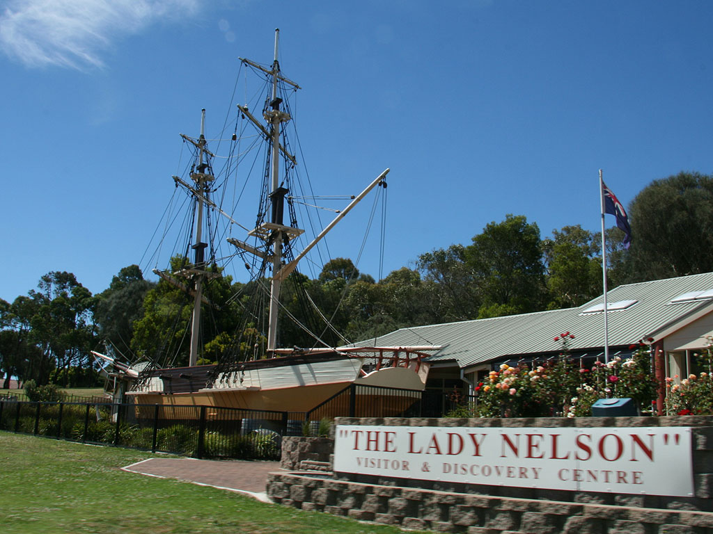
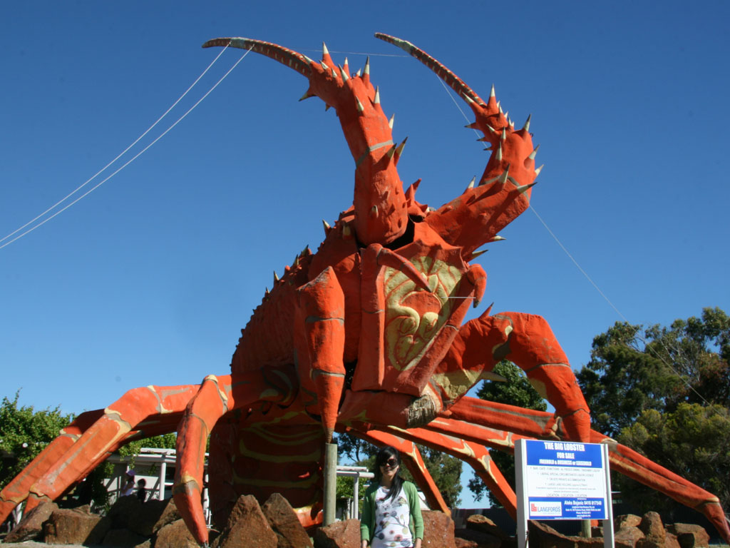
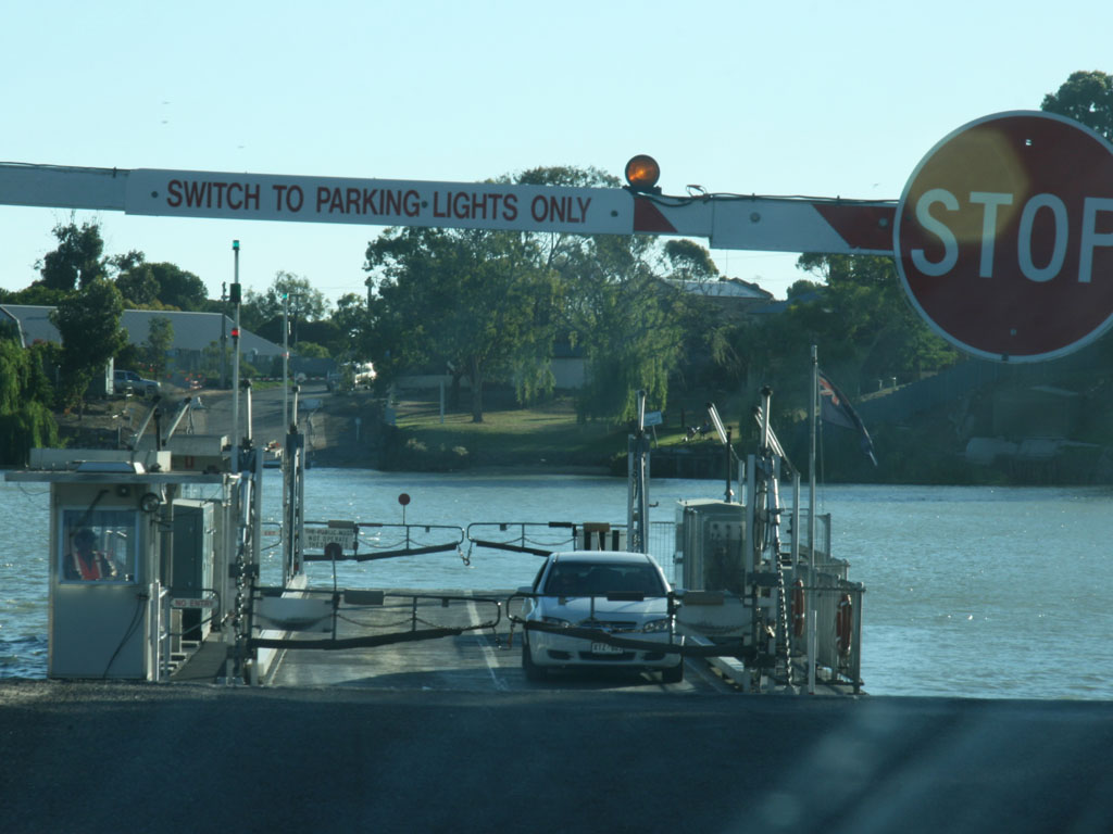
We reached Mount Gambier early in the afternoon and were greeted by the Lady Nelson; a sail ship at the entrance to the visitor’s centre. After gathering more tourist information we headed to Kingston, famous for the Big Lobster (which apparently was For Sale). We continued north along the coast, passing a number of salt lakes heading towards Wellington. As we reached Wellington we abruptly arrived at Murray River and were a little confused to the lack of bridge. It then clicked when we saw the car ferry approaching from the other side. It was quite an interesting experience, the ferry even managed to fit a road train besides us.
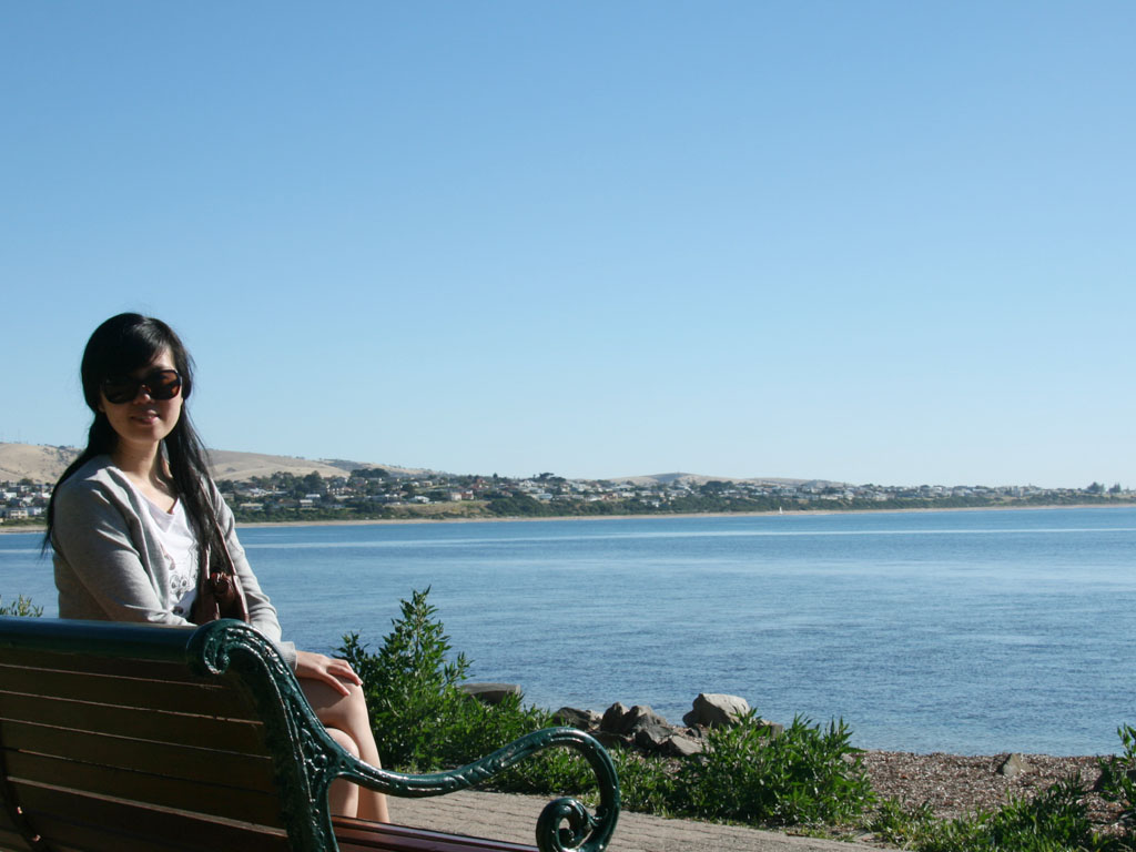
Realising we were quite late if we wanted to get to Victor Harbor that day, we hastily drove nonstop for the rest of the day.

Day3: Adelaide (Victor Harbor – Adelaide)
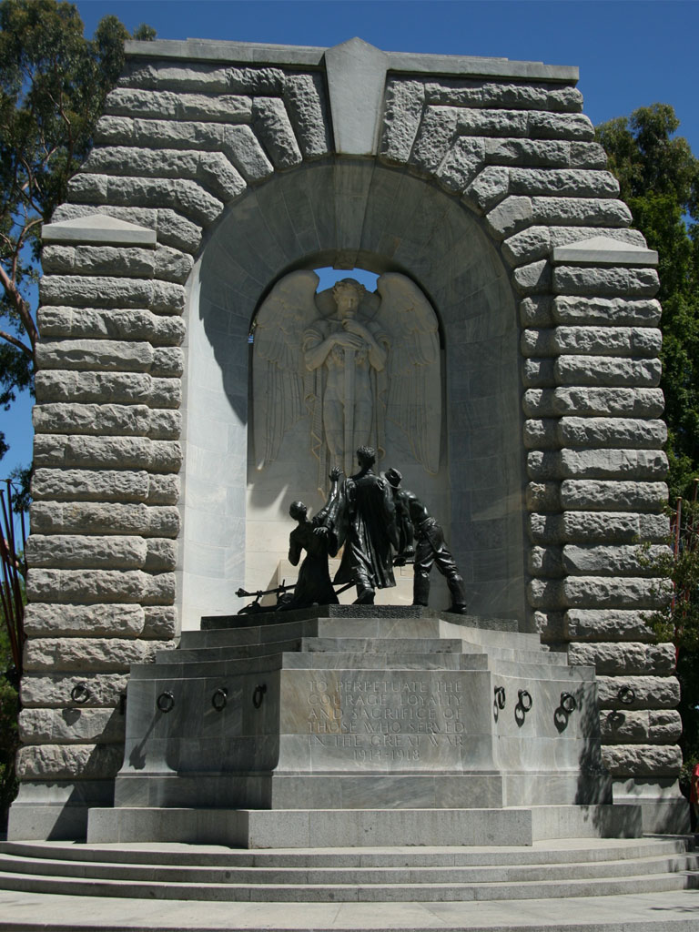
We planned to give ourselves a whole day to spend walking around Adelaide, which gave us a lot more time to enjoy things. We arrived in Adelaide a little after 9am and starting walking down King William St, through Rundle Mall towards the cultural boulevard of North Terrace. Walking along Adelaide’s streets we stumbled upon many statues, sculptures, memorials and interesting buildings. In the town hall we saw a statue of Queen Adelaide, along Rundle Mall we met bronze pigs, and towards North Terrace the South Australia National War Memorial.
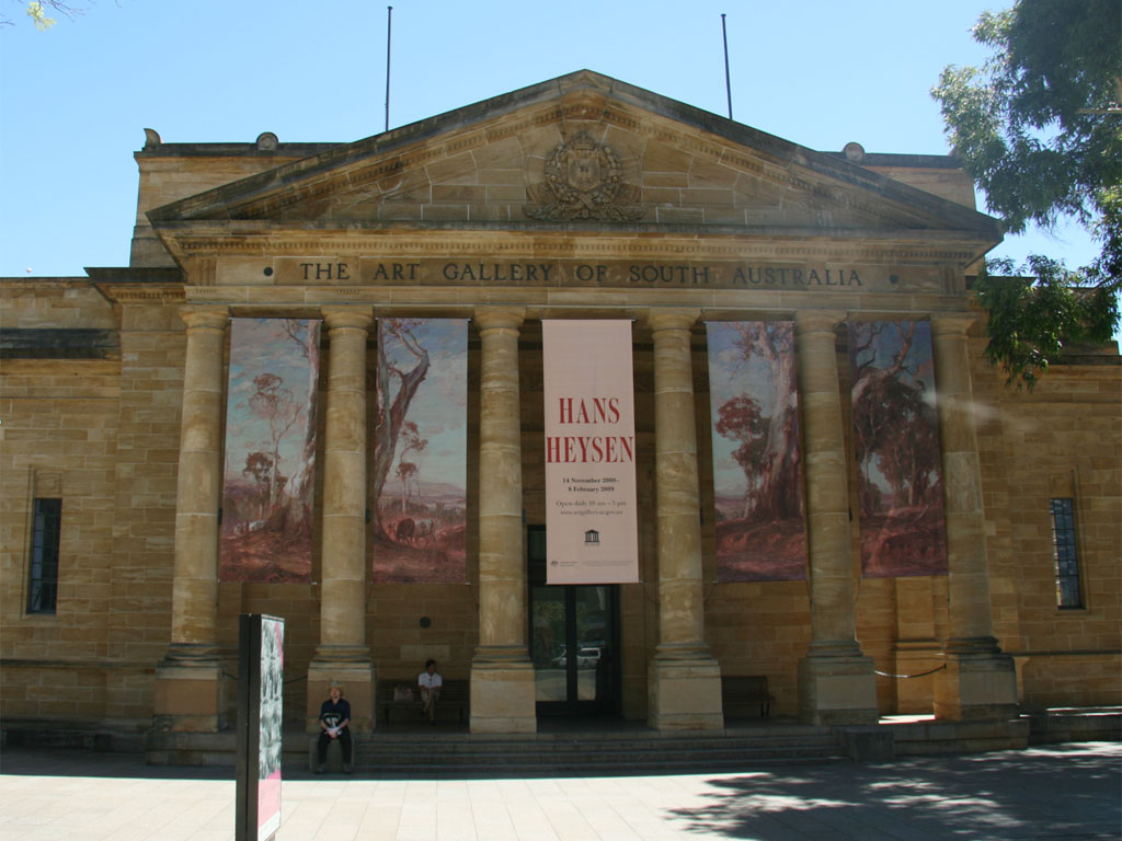
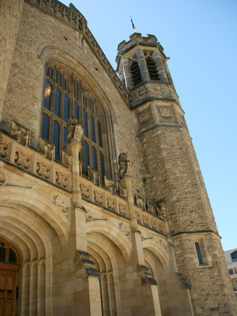
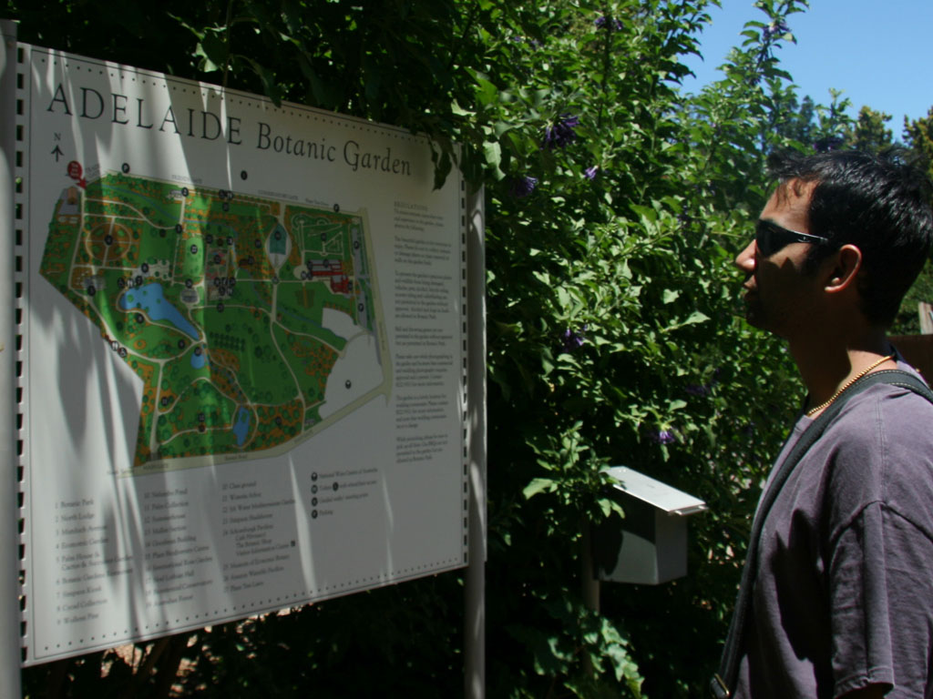
On the North Terrace are situated the Art Gallery of South Australia, South Australian Museum and the University of Adelaide all magnificent Victorian style buildings. We briefly visited the Art Gallery, and then walked though the University of Adelaide’s buildings towards Torrens River. As we walked along the river, Sonya enjoyed photographing the wildlife, particularly the ducks (she he has an abnormal fascination with ducks). By accident whilst heading back down Frome Road we stumbled upon Adelaide’s Botanical Garden.
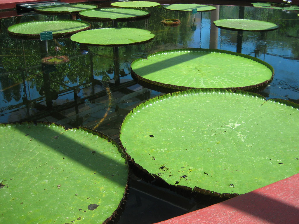
The botanical Garden was the highlight of Adelaide for me, there were a ridiculous amount of plant varieties, unfortunately we didn’t get to see them all. there were plants with weird seed pods, a green house featuring the giant Amazon Waterlily and plenty of roses in the National Rose Trial Garden. As we exited the gardens we came upon the National Wine Centre, not surprising as Adelaide is famous for its vinification. The National Wine Centre has an exhibition area with information of grape varieties, viticulture and all other things associated with wine making.
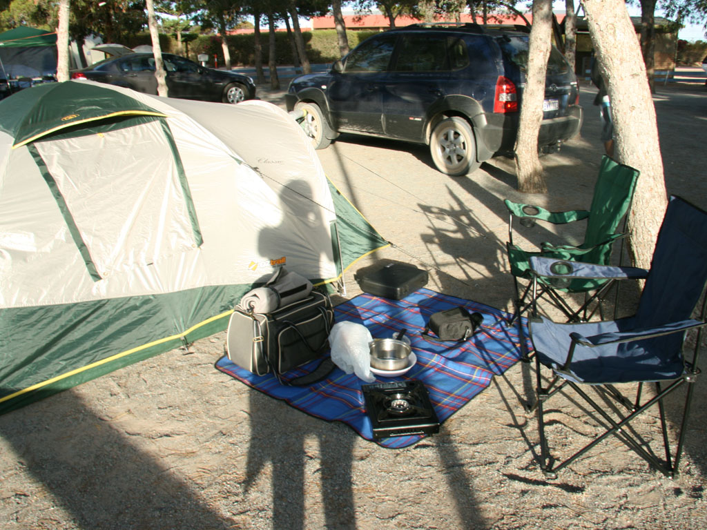
We left Adelaide in the early afternoon and after a little over four hours of driving, reaching Port Augusta where we camped. That night was the windiest night we had experienced, I couldn’t get much sleep as the tent flapped and I worried it would blow away.


Day 4: Port Augusta – Whyalla – Wudinna – Port Kenny – Ceduna
On the way to Whyalla we stopped at three Geocaches, which were all a short distance from the main road, one did require the crossing of train tracks though.
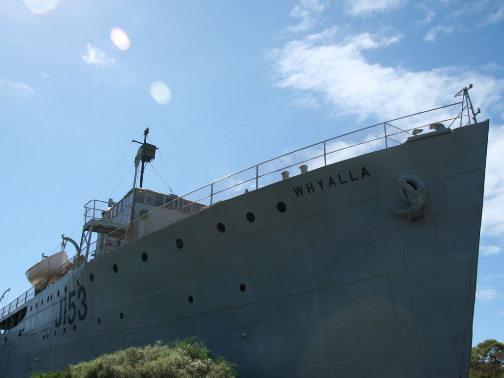
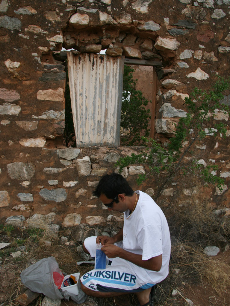
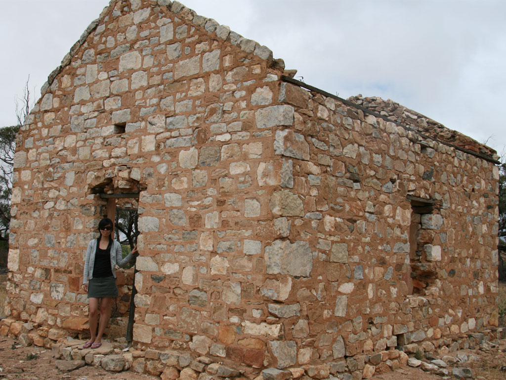
Whyalla greeted us with the HMAS Whyalla J153 at the entrance to the Whyalla Maritime Museum, after a number of pictures with the ship we continued towards Cowell. Cowell is known for its farming of Pacific Oysters, so naturally we had to purchase some for lunch ($5 for half a dozen). One of the more interesting Geocaches was the old Mindrow Creek School located about 10km from Cowell on the Birdseye Highway. The school was opened in 1918 and was in use for twenty years. We decided to have lunch at Cleve a small agriculture town.
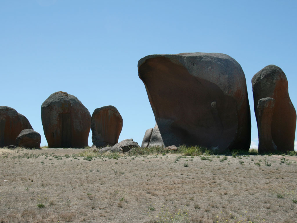
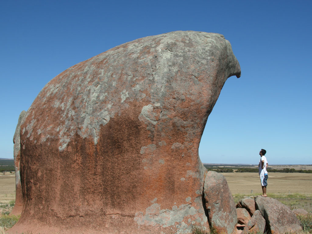
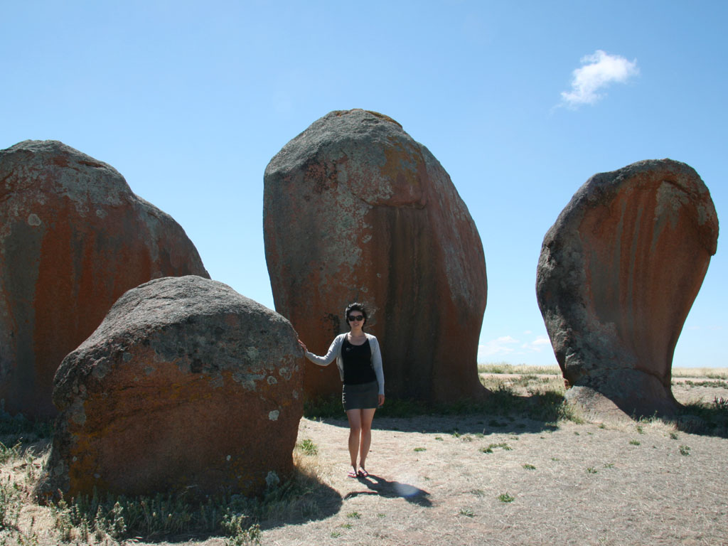
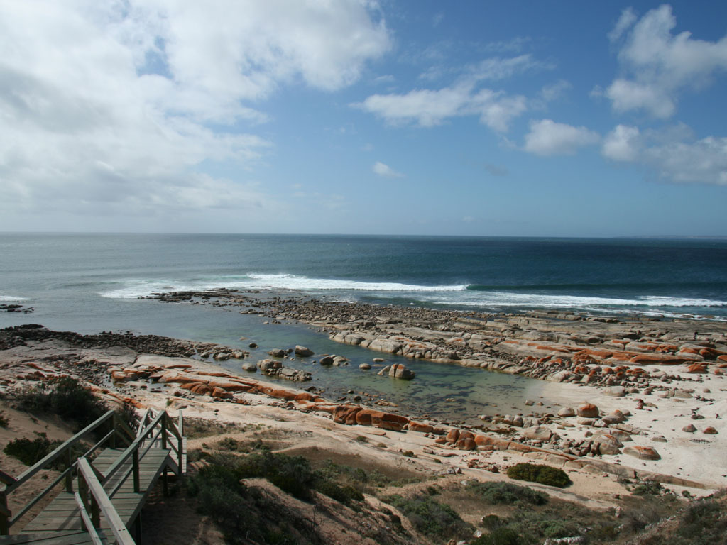
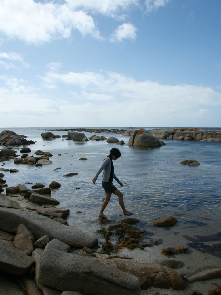
Towards Streaky Bay from Port Kenny are interesting shaped rocks, known as Murphy’s Haystacks. The name arrived due to initially being thought to be hay stacks from afar; the peculiar shaped lip is due to the strong winds blowing from only one direction. South West of Streaky Bay between Corvisart Bay and Sceale Bay is Westall Way Loop Drive, which is a scenic drive that follows the coast and provides access to a number of beaches and natural features. In order of arrival to these were High Cliff, the Dreadnoughts and the Granites. The Granites are a rocky coastline with areas of small pools.
From Streak Bay we drove to Ceduna where we camped overnight.
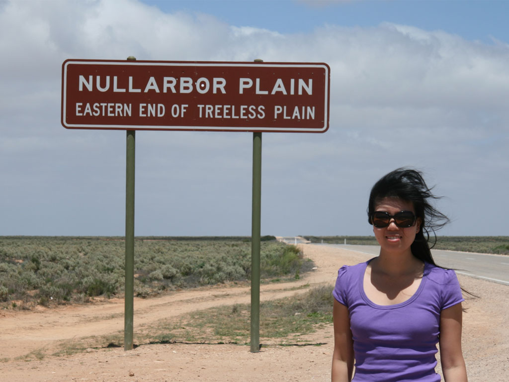
Day 5: Nullarbor Return (Ceduna – Point Sinclair – Koonalda – Balladonia)
The unfortunate thing about the Nullarbor is that there is really not much to see, and if you have been through there once, you have pretty much seen it all. Unfortunately, this day of driving marked our return trip across the Nullarbor. To break the driving up, I tried to stop at as many Geocaches as possible (Sonya wasn’t quite so happy about this), and we would take the time to travel away from the Eyre Highway which did bring us to some very nice spots which we would have normally never found.
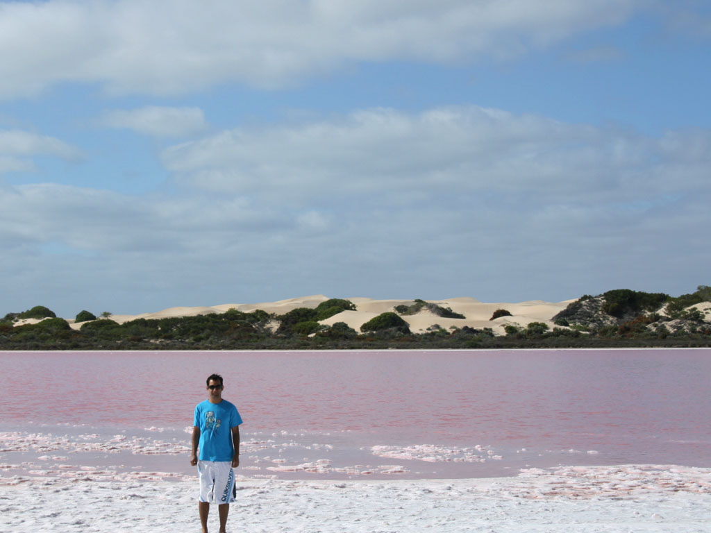
Heading towards Point Sinclair (about 20kms of the main Eyre Highway), we came across an interesting salt lake known as Red Lake, as the name suggests, the lake was red in colour. What was further interesting was that across the Panong to Point Sinclair road was Lake MacDonnell which was your normal looking blue colour. Unfortunately, the Geocache at Point Sinclair had been muggled (broken into by the non-Geocaching public, if you needed to read this, that would be you).
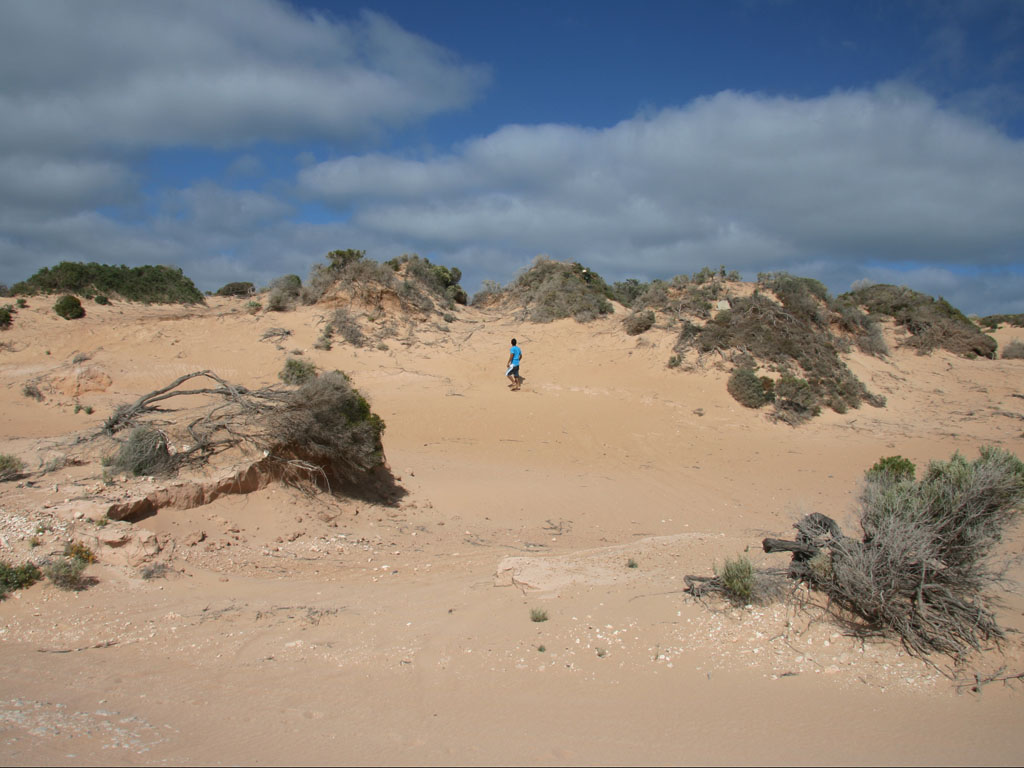
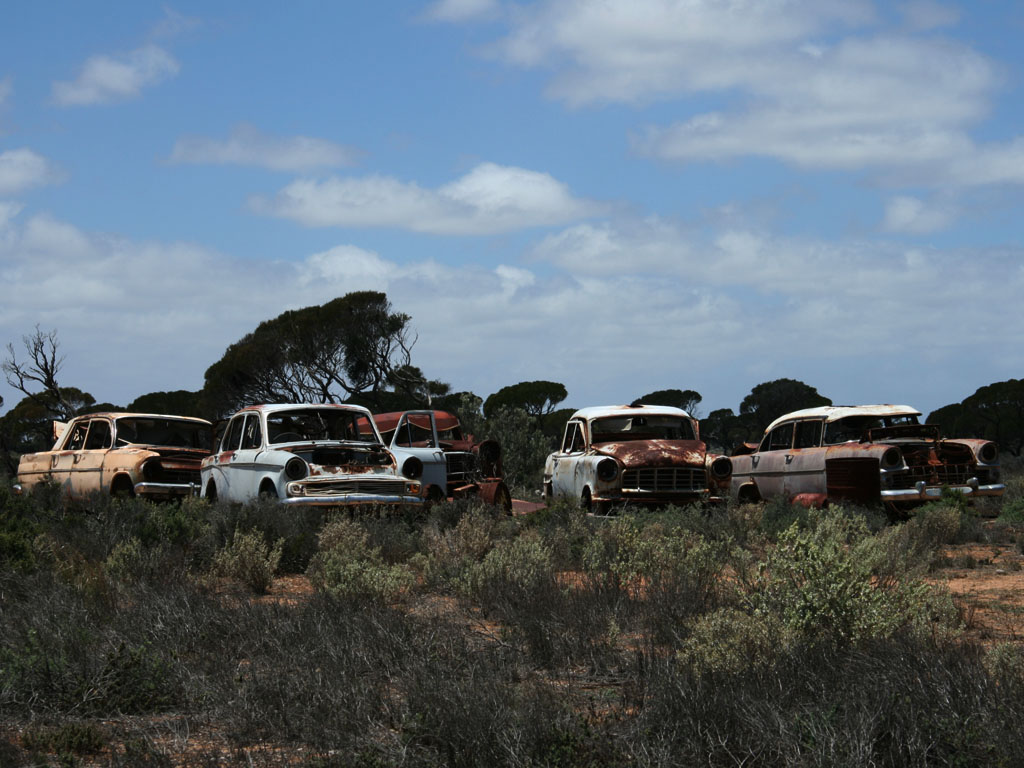
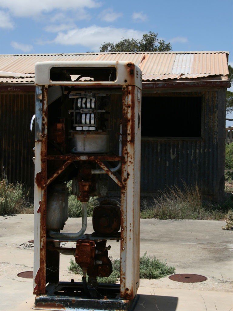
From Point Sinclair we travelled towards the heart of the Nullarbor National Park another Geocache took us to Koonalda Homestead, an abandoned sheep station and road house situated on the Old Eyre Highway. The surrounds of the homesteads served as a graveyard for cars that couldn’t make it all the way across the Nullarbor, there were many vintage Holdens and Fords, which presented nice photo opportunities. I wanted to go into the buildings but Sonya wouldn’t let me. The whole area was quite spooky.
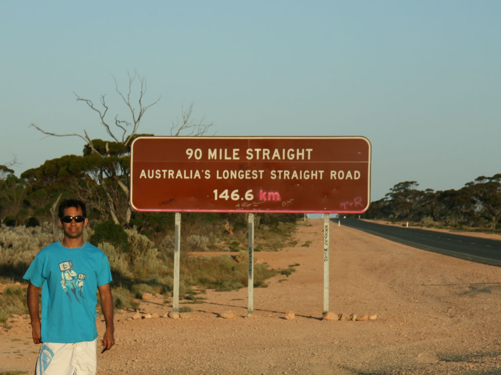
The rest of the day we spent making headway, finding two more Geocaches and again crossing the “Australia’s Longest Straight Road”. We arrived after sunset in Balladonia and had a very simple and quick dinner of corn, tuna, rice and packet soup. Note to fellow campers, the rice was a mistake as it took an extremely long time to cook.
That day we travelled over 1000km taking a little over 12 hours. The advantage of driving east to west is every days worth of driving you gain about 30 mins more before sunset.
Day 6: Balladonia – Norseman – Esperance
We woke up early, ready to drive to Esperance, I initially wanted to take a little shortcut onto the gravel Balladonia Road, but after driving about 14km taking about 14 minutes we decided that it was too risky for our car, especially given it was supposed to get a lot worse further on. After wasting about one hour, we got back on the Eyre Highway and headed to Norseman.
In Norseman we searched for a Geocache on Beacon’s Hill, it took as a little time to find the correct road with most of the roads being private mine site roads. A little from Norseman near Bromus Dam we found another Geocache. There was a spider web with spider above the location of the Geocache which Sonya was quite scared off. From there it was non-stop to Esperance where we arrived a little after lunch giving us plenty of time to explore the surrounding areas.
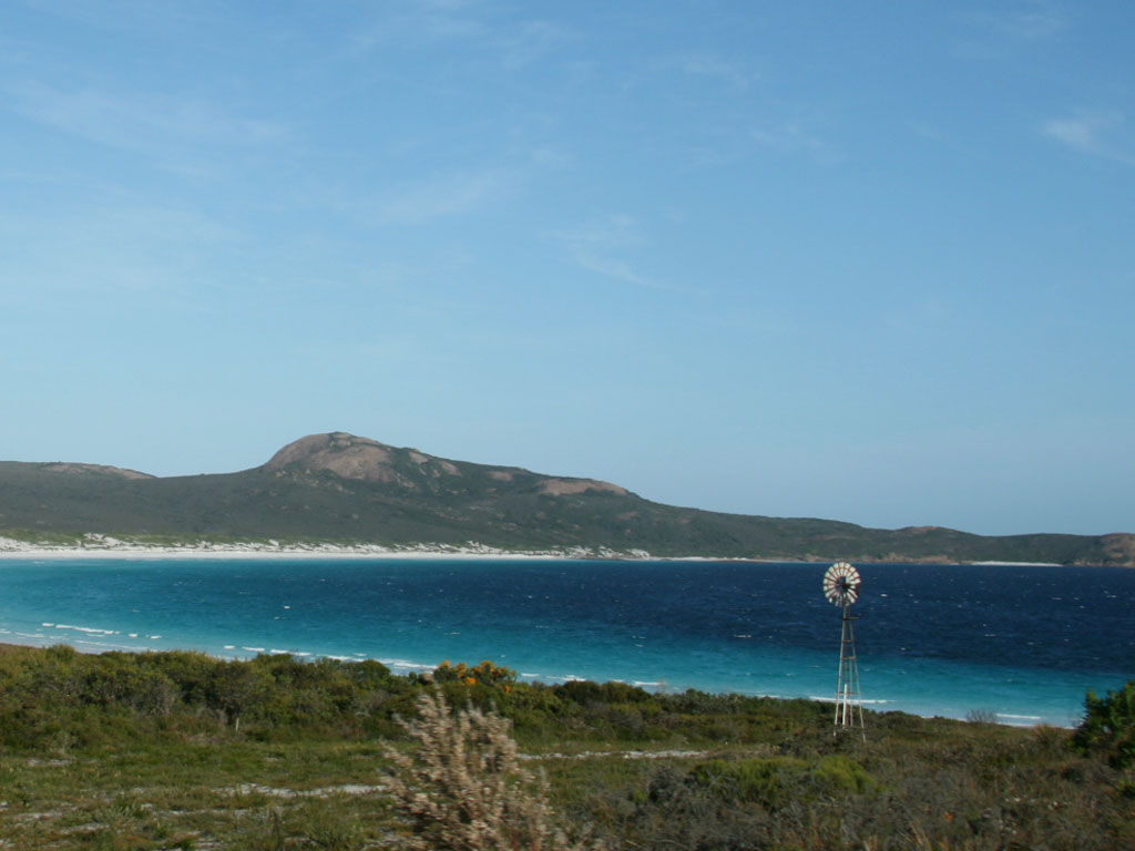
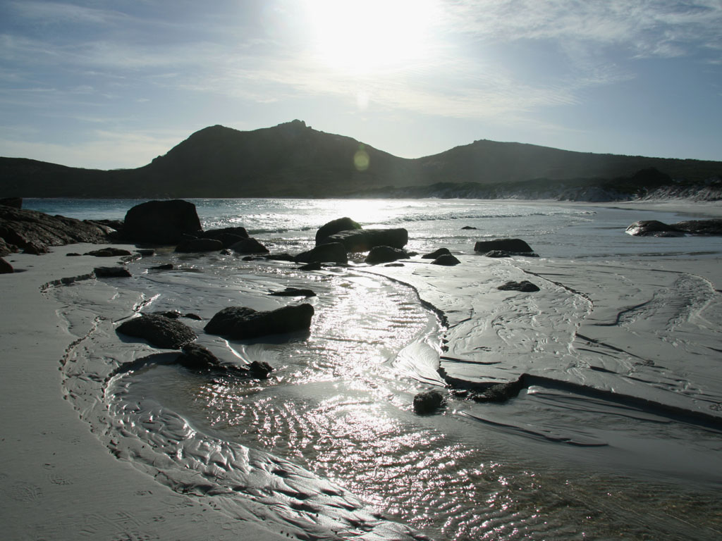
For the first time we set up camp early in the day, had a very cruisy lunch next to our tent, and then headed out to Cape Le Grand National Park. Cape Le Grand is 56km east of Esperance and features some of the nicest looking beaches. Once in the national park the predominant Frenchman Peak catches your eye as your begin to approach the park. We arrived at the base of the peak; a sign stated it was a two hour return journey to the top, so we decided to give it a miss.
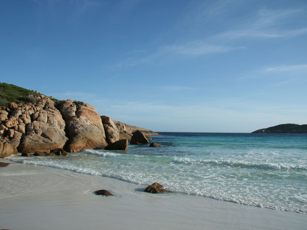
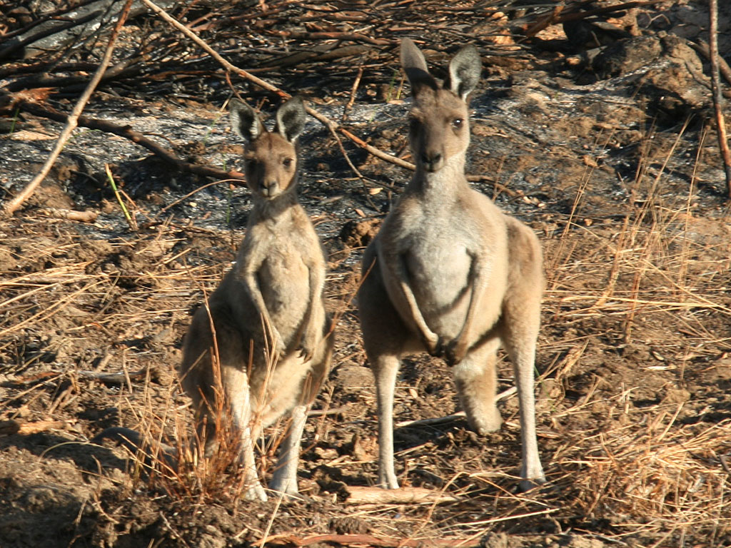
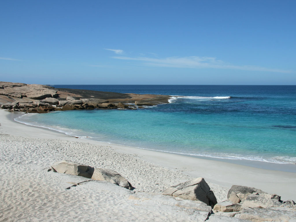
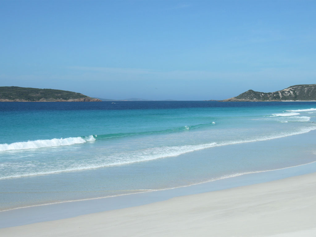
We decided to spend the rest of the day exploring the beaches, first was famous Lucky Bay, which as per photos had amazingly white sand and blue water. From there we drove a little to Rossiter Bay which was a let down as the beach was covered in seaweed. We drove back past Lucky Bay to Thistle Cove; the beach had an interesting mix of rocks and sand. Finally we drove to Le Grand Beach passing some kangaroos along the way.
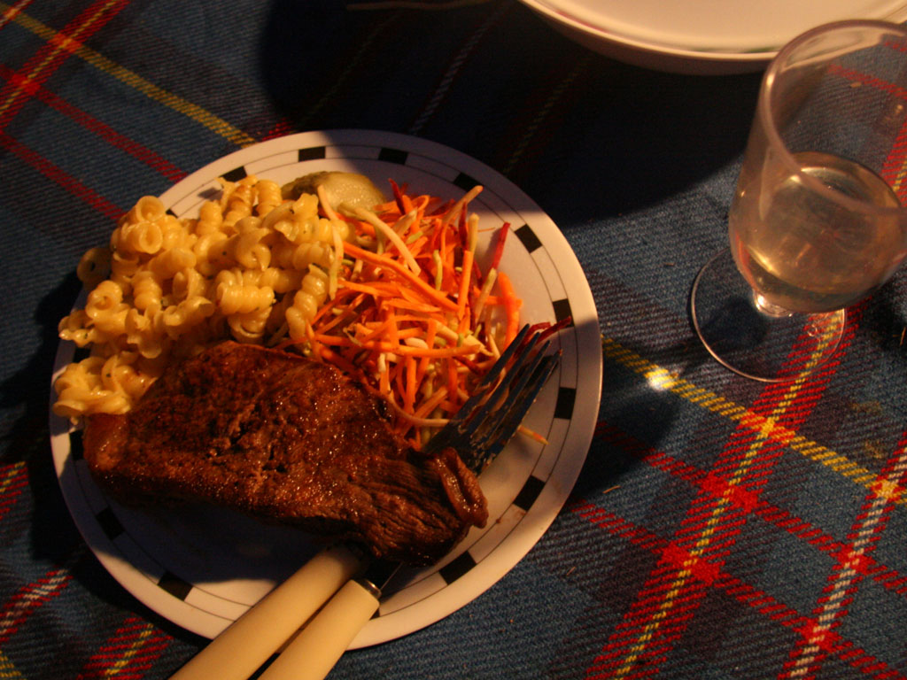
That evening for our last dinner we had steak, a side of pasta and salad, not too shabby at all.
![]()


Day 7: Esperance – Ravensthorpe – Hyden – Perth
We packed up the tent for the last time and left Esperance towards The Great Ocean Drive, (Western Australia’s version of Victoria’s Great Ocean Road, not the subtle naming difference). By now I was in Geocache crazy mode and the only reason I was keen on this drive was that my GPS was showing four Geocaches around the area.
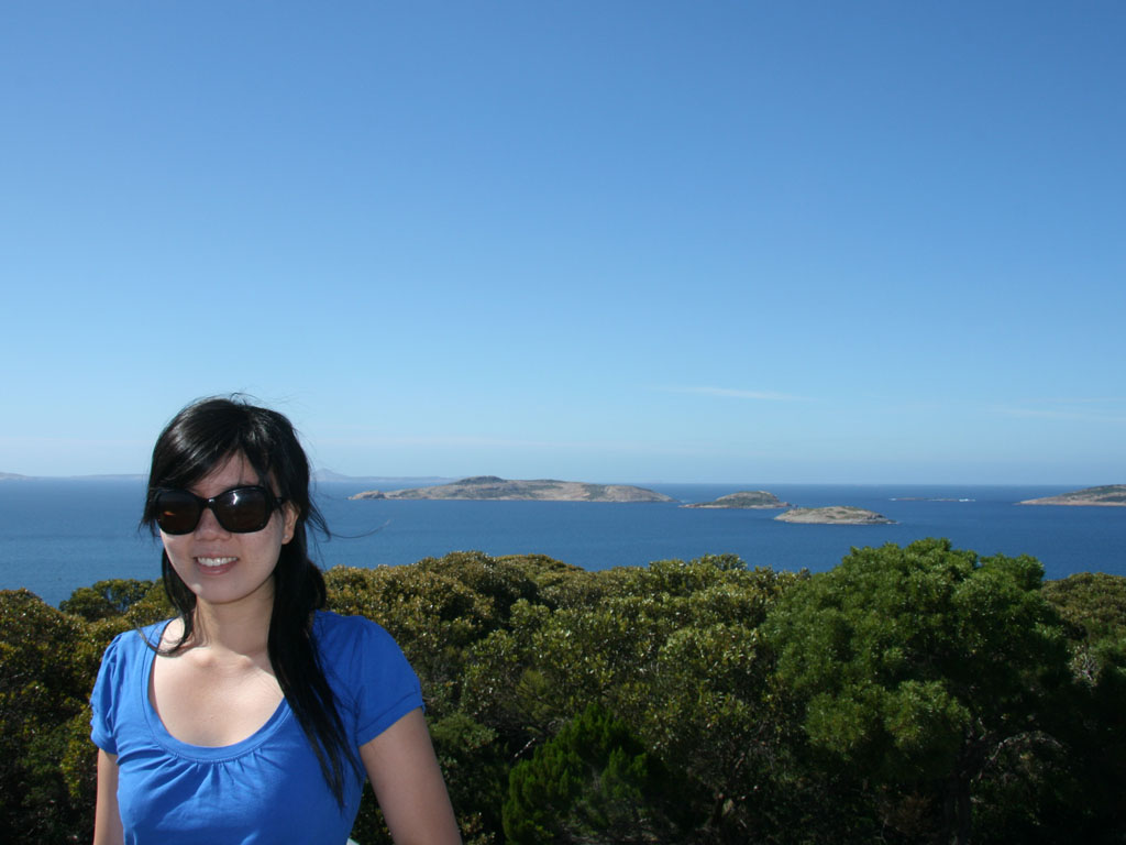
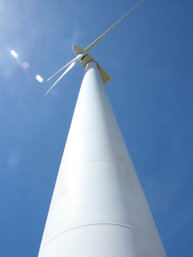
Our first stop was Rotary Lookout, while Sonya took photos from the lookout, I went into the bushes (to search for the Geocache). The next Geocache was on a hill next to Twilight Bay. Again while Sonya photographed the beautiful beach, I went in search of the Geocache. We had a brief stop at Observatory Point, which gave us nice views of the smaller islands, unfortunately no Geocaches was near. From Observatory Point we headed to Ten Mile Lagoon Wind Farm, I think this was our third or fourth wind farm on the trip. However, it was better then the others as we could go right up to the tower. Coincidently, there was a Geocache right next to the tower as well. From there we continued on the Great Ocean Drive loop which headed back to Esperance, passing Pink Lake, which wasn’t pink at all.
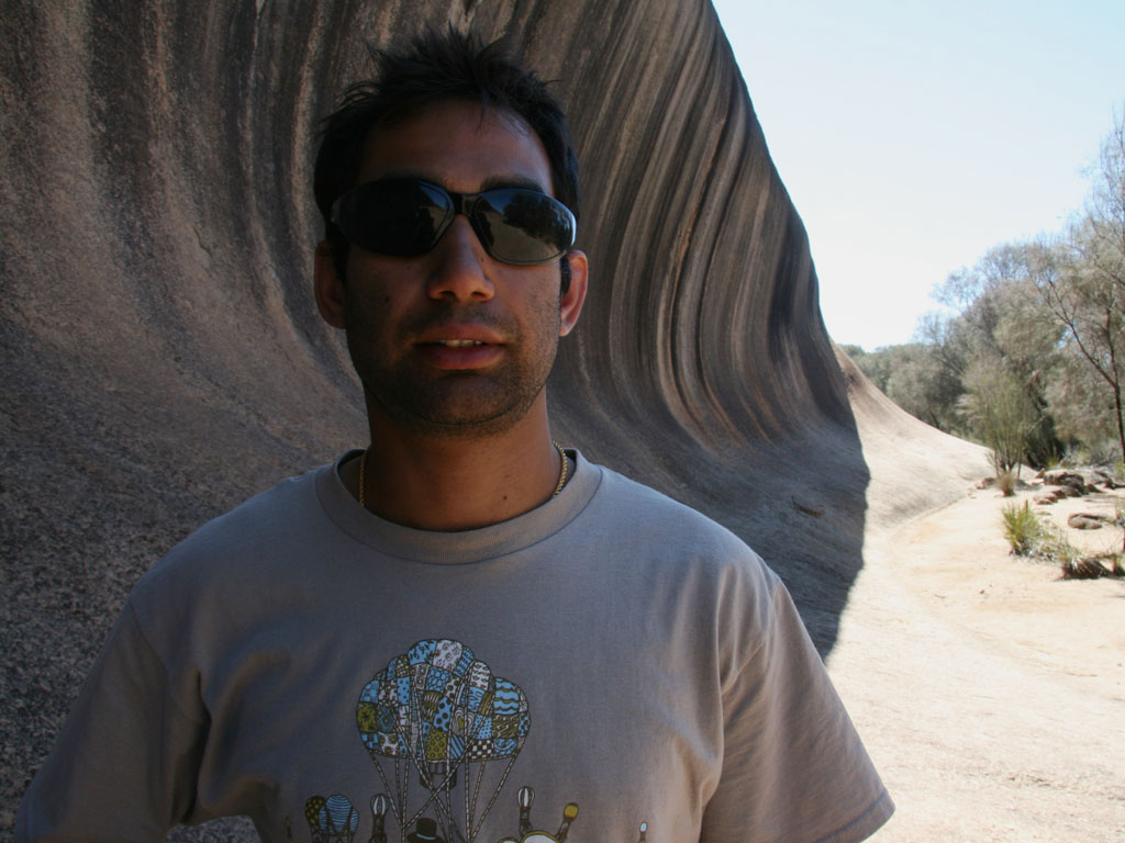
We left Esperance at a little after 10am, Esperance to Perth is about a 700km journey, meaning it would take roughly eight hours. We had a few stops along the way with the main one being to visit the famous Wave Rock in Hyden. We left Wave Rock disappointed, maybe it was the heat or maybe the travelling had finally worn us down.
We reached Perth at 7pm, on arrival we washed, waxed and buffed the Tucson before returning it to Sonya’s dad.

The holiday was a great adventure, and it turns out that crossing the Nullarbor is extremely easy. There are a few things we would have done differently, with the main one being more time. The allowance of two and a half weeks was simply not enough to view and appreciate the Australian landscape. Secondly, a decent 4WD is also required if you want to not be confined by the bitumen roads. I am sure we will cross the Nullarbor again someday.