How high did we go? – Journey through Tibet and the Himalayan mountain range

After completing the Lhasa to Everest Base Camp to Nepal journey, through numerous mountain passes and eventually the Himalayan mountain range, I was wondering how high did we in fact go. Depending on which books you read, or which markers you use you are advised of different elevations, I had my GPS on me through the whole journey and found that it was a little off to what people told me, post-researching on Wikipedia even has something else.

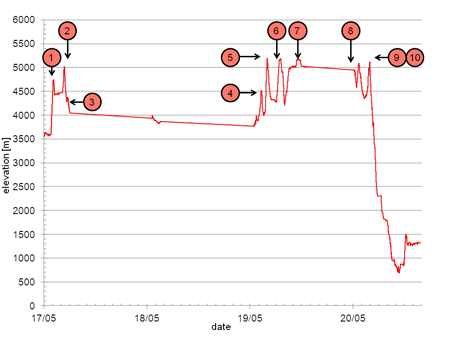
So using my GPS as absolute through the whole journey, I compiled a list of significant points in chronological arrival order;

  1. Kamba-la pass (4746.17)
  2. Karo-la pass (5022.55)
  3. Simu-la pass (4366.45)
  4. Tropu-la pass (4517.37)
  5. Gyatso-la pass (5193.18) [maximum trip elevation]
  6. Pang-la pass (5185.01)
  7. Everest Base Camp (5174.43)
  8. Lamna-la Pass (5084.07)
  9. La Lung-la Pass (4990.82)
  10. Tong-la pass (5113.39)

Elevation plot through Tibet with significant passes

I was slightly disappointed to see that little-known Gyatso-la pass was the highest we had been at 5200 metres and Everest Base Camp at 5175 metres was a little lower. Interesting was also that we descended 4500 metres in roughly ten hours from Everest Base Camp to the China-Nepal border which sits in a natural valley.

(Wikipedia states Everest Base Camp as 5150 metres and Gyatso-la pass as 5520 metres)

Mount Everest and Everest Base Camp, Tibet

This was the day I had been waiting for. Finally we would have a glimpse of Everest and even camp at Everest Base Camp. We travelled through two passes, minor Tropu-la pass at 4500 metres and the major Gyatso-la pass at 5100 metres, this marked the entry into the Everest National Park but more importantly this would be a contender for the highest point above sea level we had ever reached. A couple of kilometres from the pass and we got our first glimpse of Everest, a pointy snow capped mountain in the distance, distinctly higher than those mountains around it.

Further into the Everest National Park, we reached the Pang-la pass at 5050 metre. This pass offered the most amazing views of Everest and smaller sibling Himalayan mountains. There was a little bit of cloud cover but we were extremely lucky that the majority of time we had clear views of Everest’s peak. The guide mentioned that this was the nicest views we would see, so we took our time enjoying them.

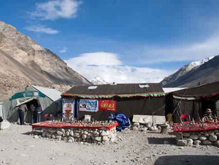
The remainder of the journey leading to Everest Base Camp was unsealed dirt roads, which finally took advantage of the giant Toyota Land Cruiser we were using. After stopping briefly at Rongbuk Monastery, the world’s highest monastery at 4900 metres, we reached Everest Base Camp. Well, it wasn’t quite Everest Base Camp, but a tourists camp, known as “Black Tent Camp” (due to the colour of the tents), this was the furthest tourists could sleep without having to pay the hefty Everest permit fees. It was a few kilometres from the actual base camp. The tourists camp was extremely touristy, even featuring a China Post, holding the record for world’s highest post box, naturally we had to send a few post cards to loved ones.

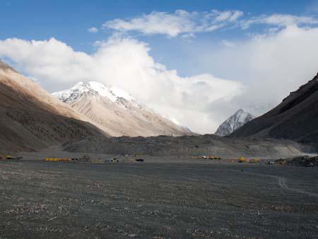
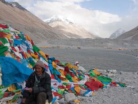
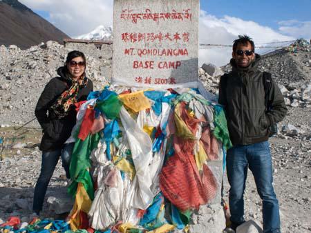
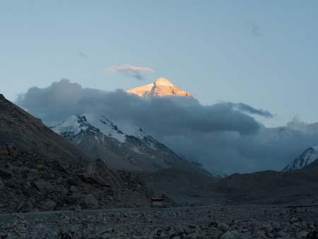
After we had settled in our tent, we made our way onto the mandatory “eco” bus, to Everest Base Camp. Once there we found an altitude marker stating “Mt. Qomolangma Base Camp 5200m” (the Tibetan name for Mount Everest). An adjacent hill was covered in prayer flags, and if not obscured by clouds would have provided the closest views of Mount Everest. We absorbed as much of the views as we could in the chilly winds before heading back to the camp. At sunset we were given one last unobstructed view of the mountain, which at this time of day, highlighted its peak in a golden colour.

That night we had one of the most restless sleeps on the whole entire trip. Firstly, in order to stay warm throughout the night the caretakers light a fire of dried yak and sheep dung, whilst most of the soot leaves through the chimney, there is a considerable amount lingering in the tent. Secondly, at above 5000 metres, the air becomes considerable harder to brief, we had purchased twenty minute disposable compressed oxygen to use, and during the night Sonya had woke me up as she was having trouble breathing. One of the members of the six person Hungarian group who was also sharing the tent with us, had it particularly bad during the night, constantly coughing and using the oxygen.

We woke up to find it snowing outside, views of Everest were long gone. We left the camp to make the long five hour journey to Zhangmu, the last Chinese town situated before the Nepal border. We passed through three passes, Lamna-la pass, La Lung-la pass at 4845 metres and Tong-la pass at 4950 metres. Whilst, we wouldn’t catch a glimpse of Everest again, winding through the Himalayan Mountains we saw Mount Shishapangma at 8012 metres, Tibet’s claim of an above 8000 metres mountain that exists wholly in China.

As we moved closed the Nepal, it was amazing watching the scenery change to lush dense jungle. We had descended 4500 metres that day, from snowing mountains in the morning to tropical jungle.
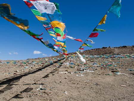
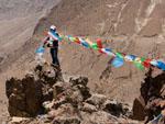
Prayer flags marking Tropu-la pass at 4500 metres
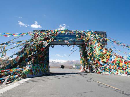
Gyatso-la pass at 5100 metres and the entrance to Everest National Park
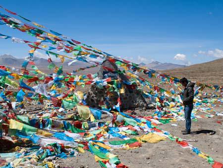
Elevation marker hidden between rows of prayer flags, Travis is checking GPS elevation
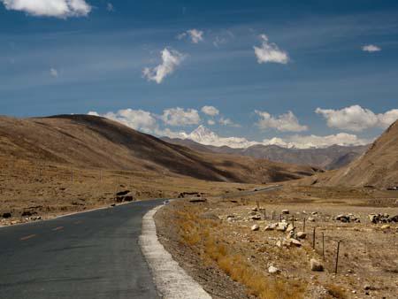
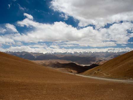
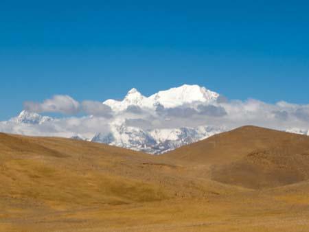
Along the friendship highway, the first views of Mount Everest
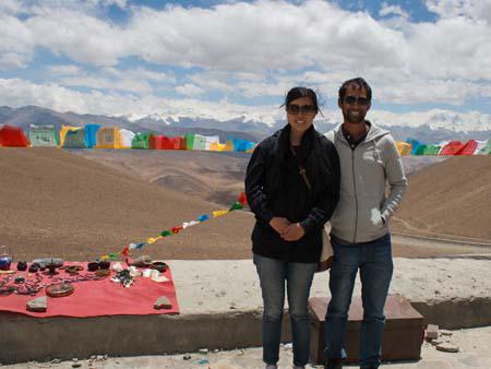
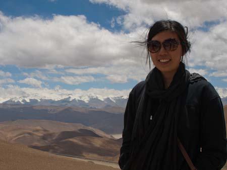
Sonya and Travis at Pang-la pass, the Himalayan Mountains visible in the background
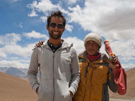
Travis with a Tibetan selling prayer flags
Sonya with the tip of Mount Everest visible in the background
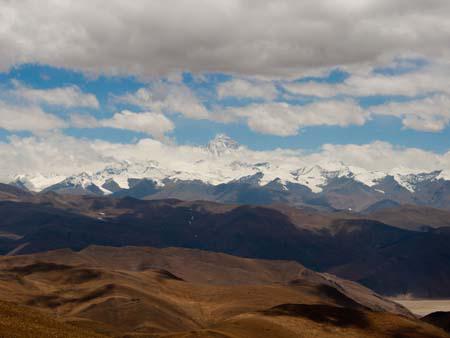
View Mount Everest from Pang-la pass at 5050 metres
View of the Himalayans and Mount Everest from Pang-la pass at 5050 metres
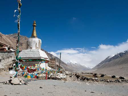
Chorten outside Rongphu the highest monastery in the world, in the background is a cloud covered Everest
Black Tent Camp the tourists Everest Base Camp, a China Post is visible to the left
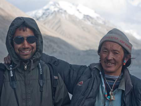
Travis and a Tibetan at Everest Base Camp
View of cloud covered Everest from Base Camp, yellow tents belong to the climbers
Tibetan next to some prayer flags with a cloud covered Everest in the background
Sonya and Travis at the Everest Base Camp market, 5200 metres
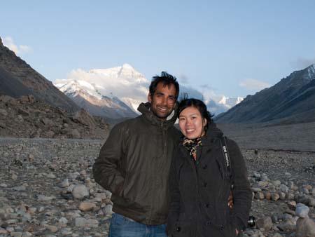
Travis and Sonya with the tip of Everest visible in the background
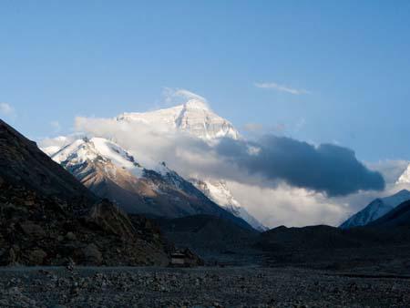
Mount Everest viewed from Everest Base Camp Tibet side
Mount Everest seen at sunset when its highlighted golden
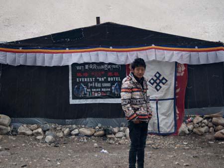
Our guide Demdum in the morning outside our tent Everest 88 Hotel
Mount Shishapangma at 8012 metres
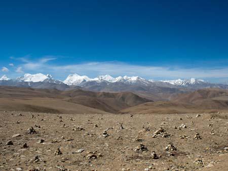
View of the Himalayans when approaching Nepal
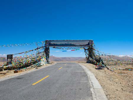
Tong-la pass at 4950 meters, the last pass before leaving Tibet

Gyantse to Shigatse, Tibet – Tashilhunpo Monastery

We drove about two hours from Gyantse to Shigatse, Shigatse is Tibet’s second largest city and the main attraction is Tashilhunpo Monastery.

Tashilhunpo Monastery

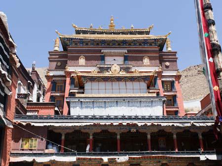
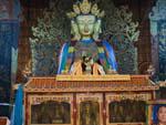
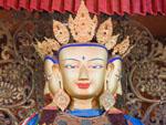
Tashilhunpo Monastery is very similar to previous Gelugpa (Yellow Hat sect) monasteries we had visited, the drawcard though was a large twenty-six metre high statue of Jampa (Maitreya), the Future Buddha. Housed in the Chapel of Jampa (Jamkhang Chenmo), the gilded statue is the largest in the world.

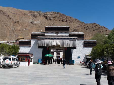
Main entrance to Tashilhunpo Monastery
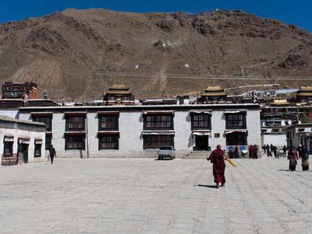
The entrance courtyard with colleges in the foreground, in the background sticking out are the main buildings
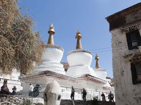
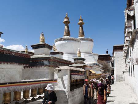
The three large Chortens
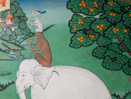
Four harmonious friends, an elephant, monkey, rabbit and bird
Buddhists circumambulating the three large chortens
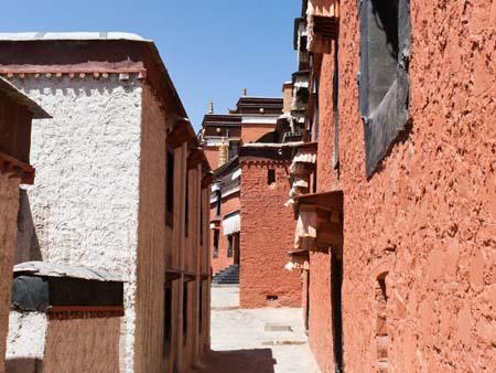
The alleys in the Tashilhunpo Monastery
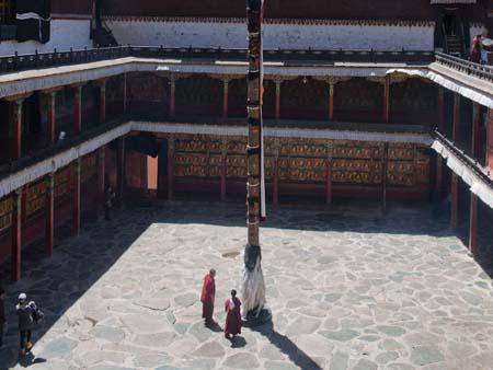
Large courtyard with prayer pole in the centre
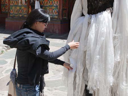
Sonya tying a white scarf to the prayer pole in the courtyard
Looking towards the Assembly Hall

Shigatse Dzong

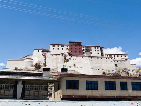
Similar to the Gyantse Dzong, Shigatse Dzong sits on a hill overlooking the town. It strangely resembles the Potala Palace in Lhasa, only smaller, our guide shared a story in which the design of the Potala Palace was drawn on a banana leaf, and when it was transported to Shigatse for reproduction, it had shrank.

Shigatse Fort, looking very similar to a smaller Potala Palace found in Lhasa

Lhasa to Gyantse – Yamdrok-tso and Gyantse monastery

On the fourth day, now acclimatised to the high altitude, we left Lhasa and headed towards the Nepal border. The day’s sights would include Yamdrok-tso lake, two mountain passes, Kamba-la pass and Karo-la pass, and the day-end destination town of Gyantse.

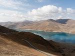
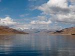
Yamdrok-tso lake

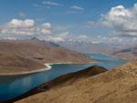
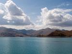
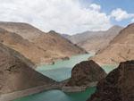
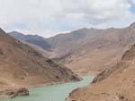
Yamdrok-tso lake is interspersed between the mountains and we seemed to be following it for the majority of our journey from Lhasa to Gyantse. The beautiful scenery was a nice change from the three-days of monasteries and Buddha statues.

Yamdrok-tso lake, TibetYamdrok-tso lake, TibetYamdrok-tso lake, Tibet

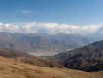
Mountain passes

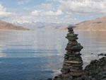
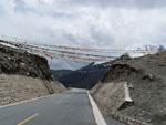
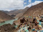
A pass is a track or road over a mountain used to get to the other side, the tip or highest point of the track is known as the pass. We had already experiences a few ‘minor’ passes in Kyrgyzstan and the ‘major’ Tanggu La Pass at 5072 metres on the train to Lhasa. Passes are fun, they provide amazing views, and may even break your personal-best highest elevation. In Tibet the passes are marked by prayer flags, locals selling knick-knacks and sometimes an elevation marker or small chorten. The passes we went through were Kamba-la pass at 4700 metre, Karo-la pass at 4960 metres and Simu-la pass at 4280 metres. They were not snow covered, which was a surprise as this had been the case for the lower elevated passes in Kyrgyzstan.

Mountain passes, TibetMountain passes, TibetMountain passes, Tibet

Gyantse

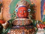
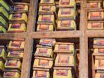
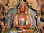
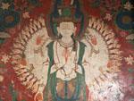
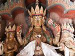
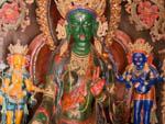
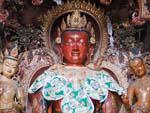
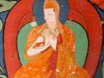
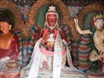
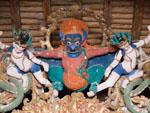
Gyantse monastery – very similar to the many previous monasteries we had visited, for an unusually small fee we were permitted to take photos, below are photos the Buddha books (books with literature of all things relating to Buddhism, the usual Buddha statues and protector statues.

Gyantse monasteryGyantse monasteryGyantse monastery

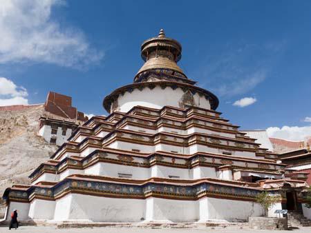
Gyantse Kumbum (100,000 Buddha images) –  a large chorten (or stupa), which is usually a large circular shaped building that tapers up, the architecture has specific Buddhist meaning, as well as the structure in general. What made the Kumbum so unique was as its named suggested, the hundreds of Buddha images found in the many small rooms circulating the chorten. Each room was filled with beautiful Buddhist murals and a statue of a Buddha or a protector. After about the first two floors, having entered all the rooms so far and made an effort to study the murals, we started to skip a few as it was starting to take a little while and the themes were very similar. At the top we had a view of the courtyard where our guide was patiently sitting, now we understood why he elected to wait for us, as explaining all the murals and statues would have been tiresome.

Gyantse Kumbum, Tibet
Gyantse Kumbum, TibetGyantse Kumbum, TibetGyantse Kumbum, Tibet

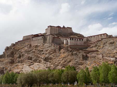
Gyantse Dzong – the Gyantse skyline included the Gyantse Dzong, a fort-like structure sitting on the city’s overshadowing mountains, unfortunately, it didn’t seem open to tourists.

Gyantse Dzong, Tibet