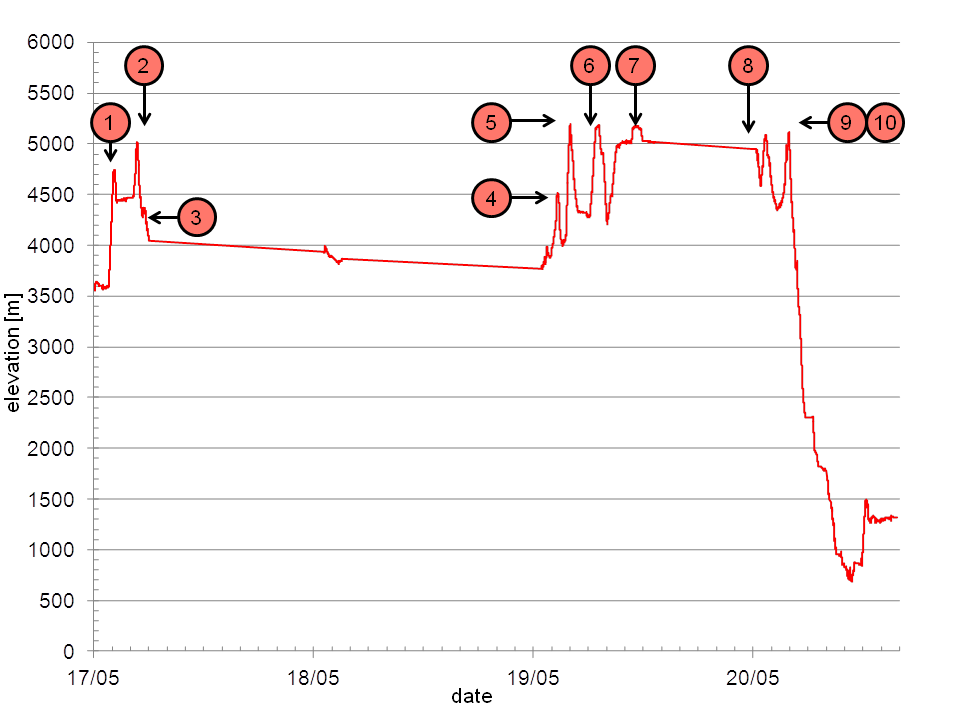
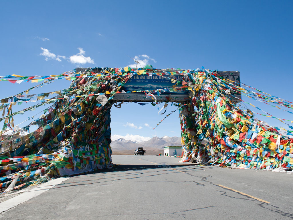
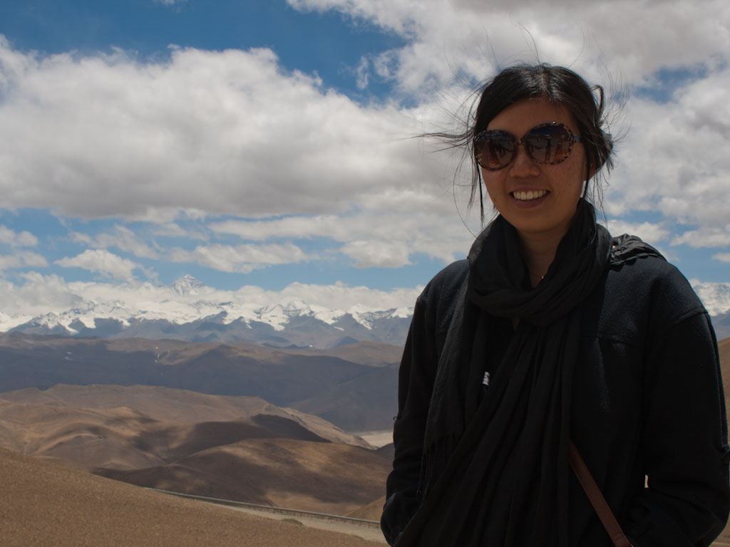
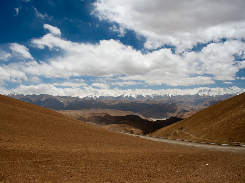
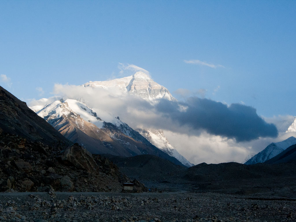
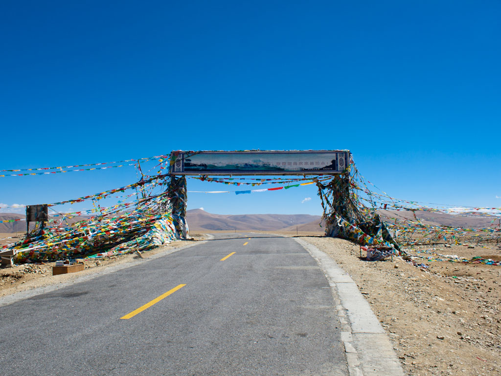
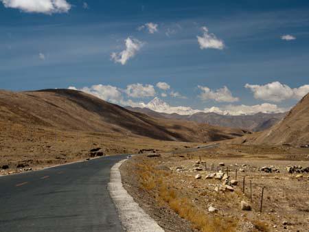
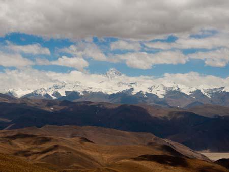
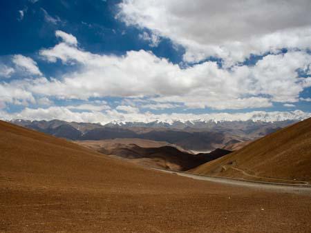
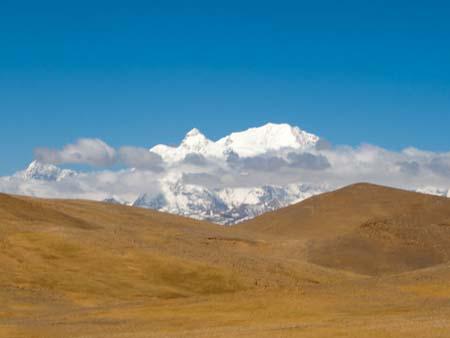
This was the day I had been waiting for. Finally we would have a glimpse of Everest and even camp at Everest Base Camp. We travelled through two passes, minor Tropu-la pass at 4500 metres and the major Gyatso-la pass at 5100 metres, this marked the entry into the Everest National Park but more importantly this would be a contender for the highest point above sea level we had ever reached. A couple of kilometres from the pass and we got our first glimpse of Everest, a pointy snow capped mountain in the distance, distinctly higher than those mountains around it.
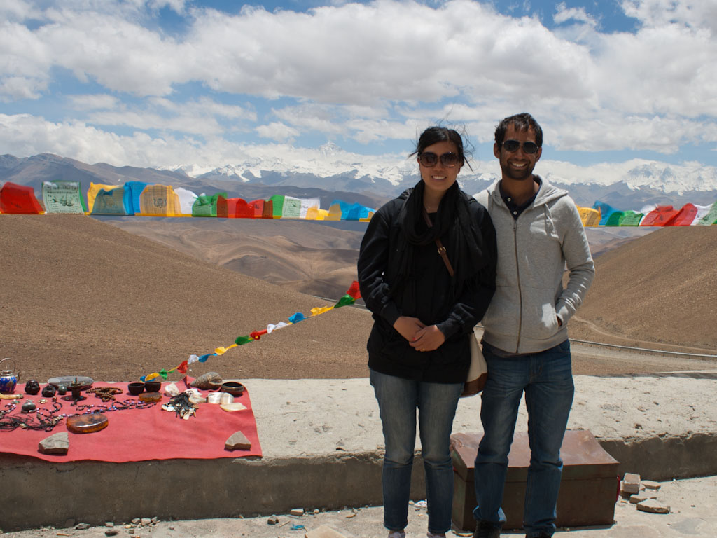
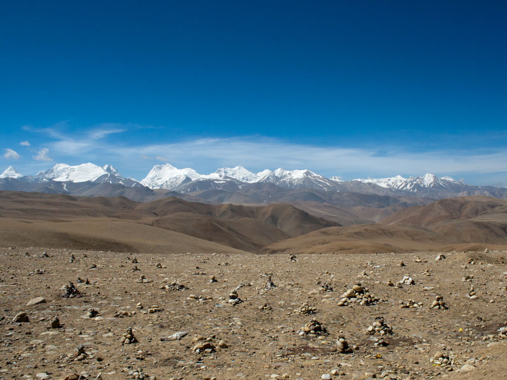
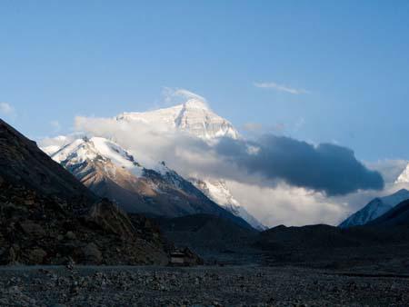
Further into the Everest National Park, we reached the Pang-la pass at 5050 metre. This pass offered the most amazing views of Everest and smaller sibling Himalayan mountains. There was a little bit of cloud cover but we were extremely lucky that the majority of time we had clear views of Everest’s peak. The guide mentioned that this was the nicest views we would see, so we took our time enjoying them.
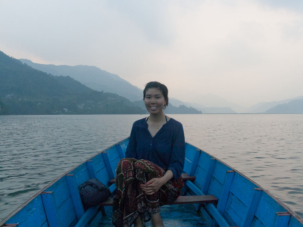
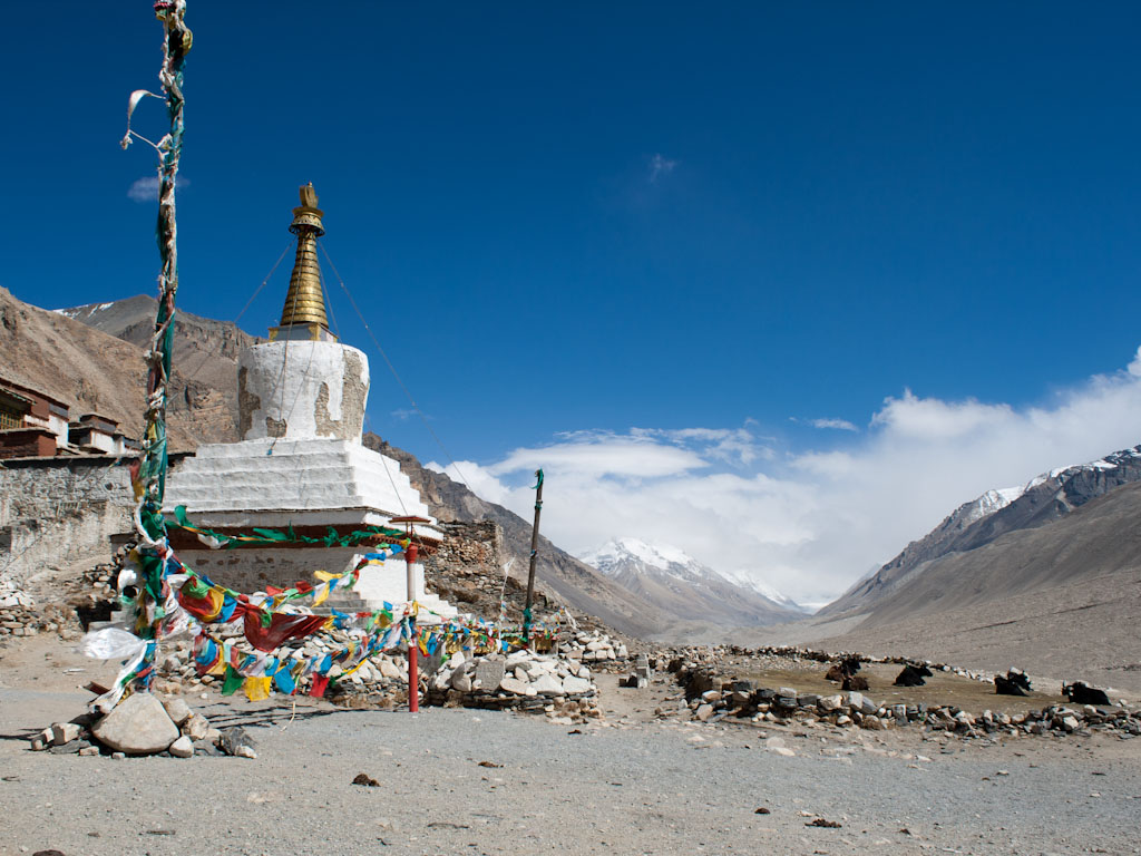
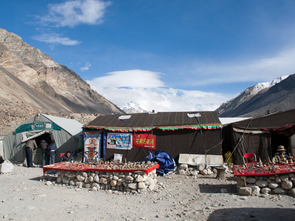
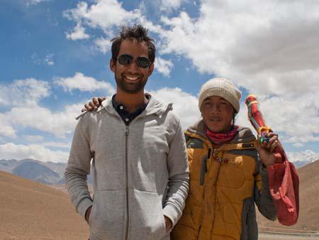
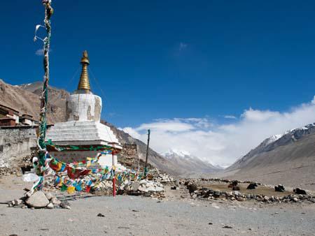
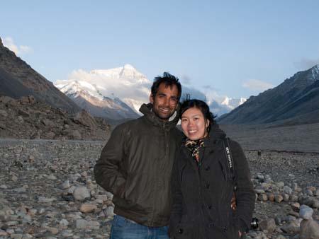
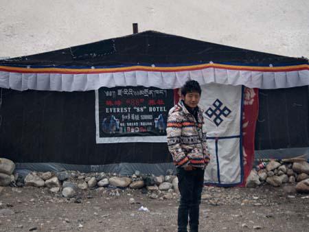
The remainder of the journey leading to Everest Base Camp was unsealed dirt roads, which finally took advantage of the giant Toyota Land Cruiser we were using. After stopping briefly at Rongbuk Monastery, the world’s highest monastery at 4900 metres, we reached Everest Base Camp. Well, it wasn’t quite Everest Base Camp, but a tourists camp, known as “Black Tent Camp” (due to the colour of the tents), this was the furthest tourists could sleep without having to pay the hefty Everest permit fees. It was a few kilometres from the actual base camp. The tourists camp was extremely touristy, even featuring a China Post, holding the record for world’s highest post box, naturally we had to send a few post cards to loved ones.
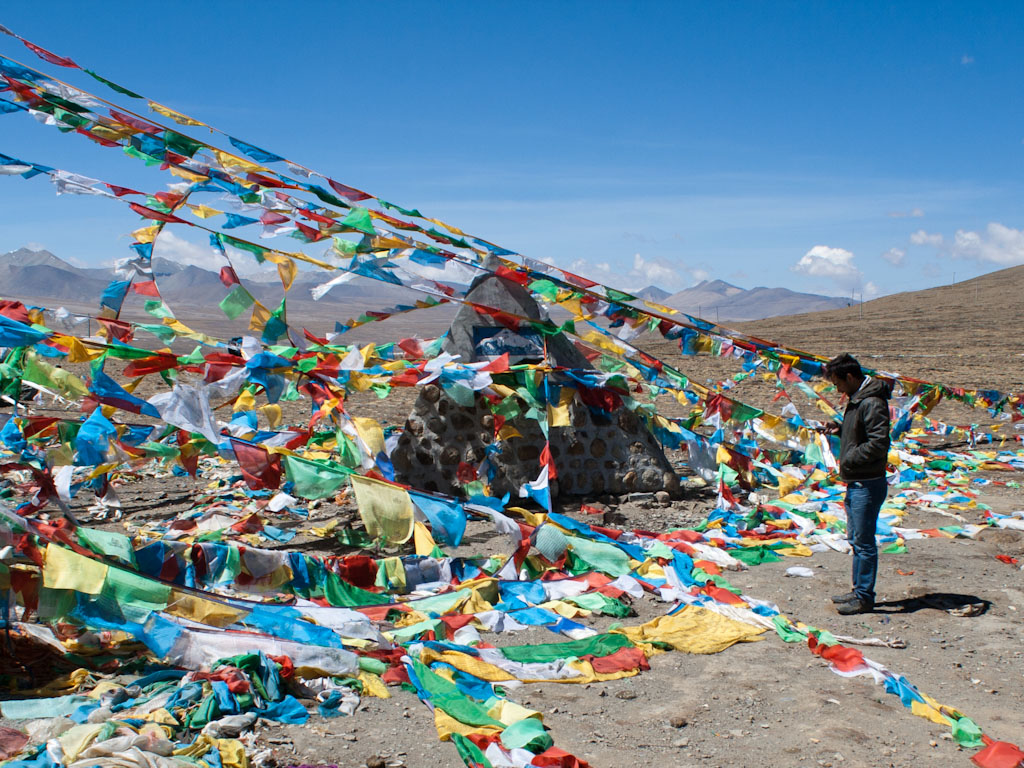
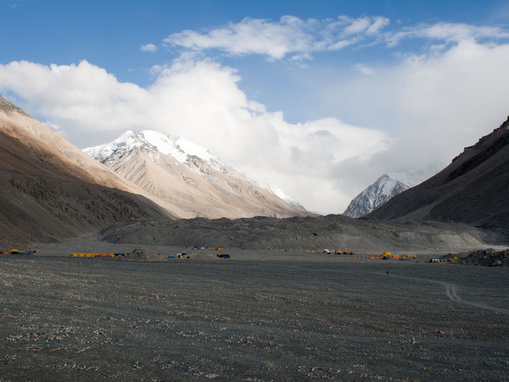
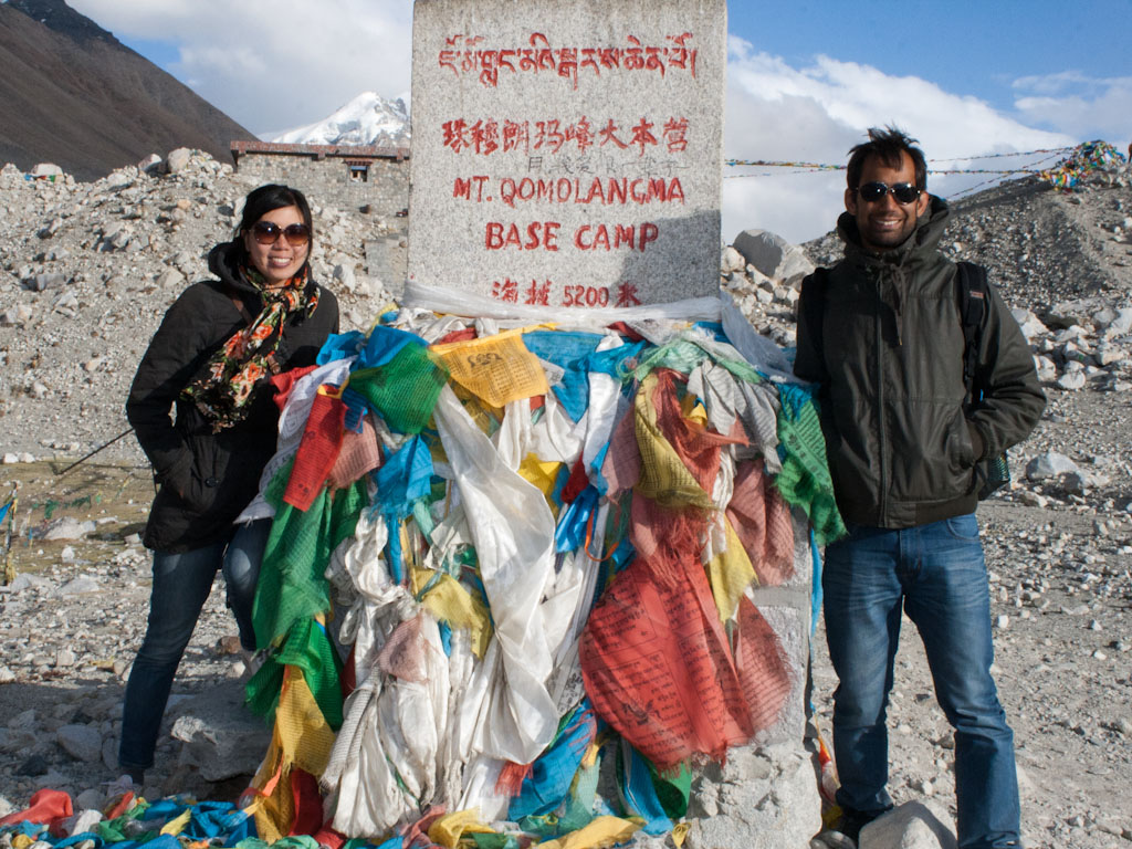
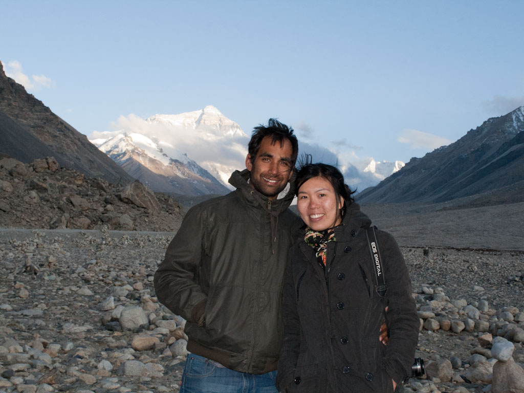
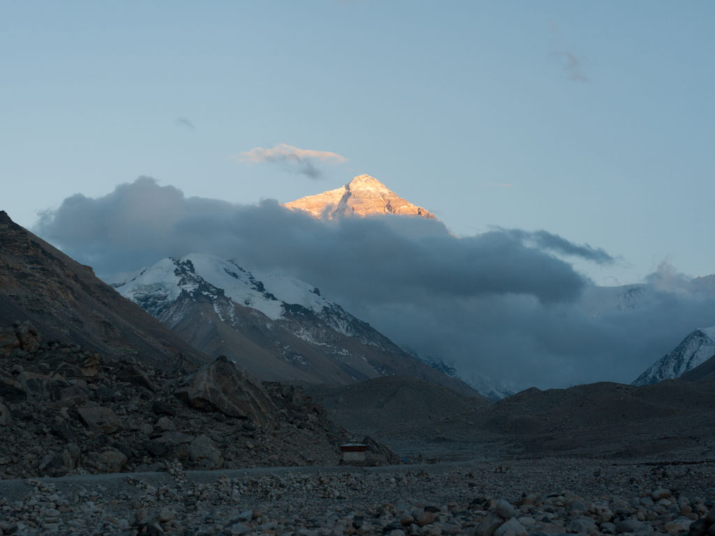
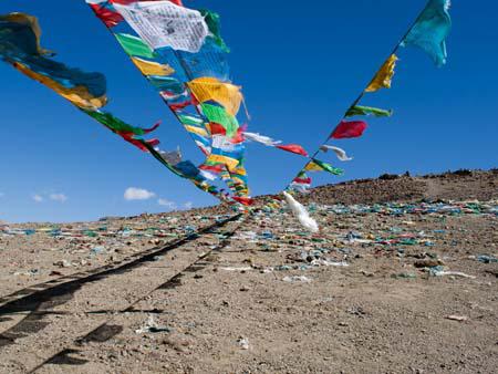
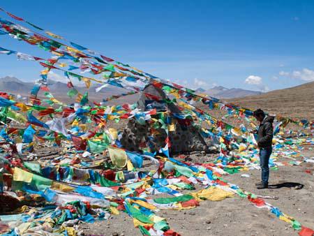
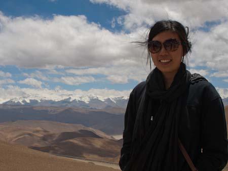
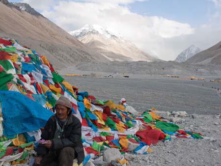
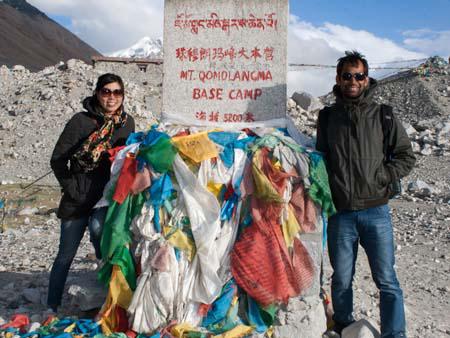
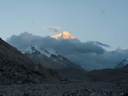
After we had settled in our tent, we made our way onto the mandatory “eco” bus, to Everest Base Camp. Once there we found an altitude marker stating “Mt. Qomolangma Base Camp 5200m” (the Tibetan name for Mount Everest). An adjacent hill was covered in prayer flags, and if not obscured by clouds would have provided the closest views of Mount Everest. We absorbed as much of the views as we could in the chilly winds before heading back to the camp. At sunset we were given one last unobstructed view of the mountain, which at this time of day, highlighted its peak in a golden colour.
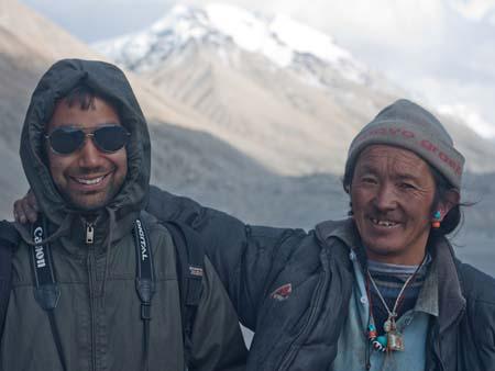
That night we had one of the most restless sleeps on the whole entire trip. Firstly, in order to stay warm throughout the night the caretakers light a fire of dried yak and sheep dung, whilst most of the soot leaves through the chimney, there is a considerable amount lingering in the tent. Secondly, at above 5000 metres, the air becomes considerable harder to brief, we had purchased twenty minute disposable compressed oxygen to use, and during the night Sonya had woke me up as she was having trouble breathing. One of the members of the six person Hungarian group who was also sharing the tent with us, had it particularly bad during the night, constantly coughing and using the oxygen.
We woke up to find it snowing outside, views of Everest were long gone. We left the camp to make the long five hour journey to Zhangmu, the last Chinese town situated before the Nepal border. We passed through three passes, Lamna-la pass, La Lung-la pass at 4845 metres and Tong-la pass at 4950 metres. Whilst, we wouldn’t catch a glimpse of Everest again, winding through the Himalayan Mountains we saw Mount Shishapangma at 8012 metres, Tibet’s claim of an above 8000 metres mountain that exists wholly in China.
As we moved closed the Nepal, it was amazing watching the scenery change to lush dense jungle. We had descended 4500 metres that day, from snowing mountains in the morning to tropical jungle.


28.14064558
86.85141309


</span><br><span class='slider-span'>Egypt - Giza, Dahshur and Saqqara pyramids</span>")


</span><br><span class='slider-span'>Taj Mahal - Agra, Uttar Pradesh, India</span>")


</span>")


</span>")

, Delhi, India </span>")


, Urumqi, China</span>")
, Qatar</span>")


</span><br><span class='slider-span'>From Shiraz to Yazd – Persepolis, Pasargadae and Abarqu</span>")


 Medressa part of the Registan</span><br><span class='slider-span'>Samarkand, Uzbekistan</span>")
, Urumqi, China</span>")
, China</span>")


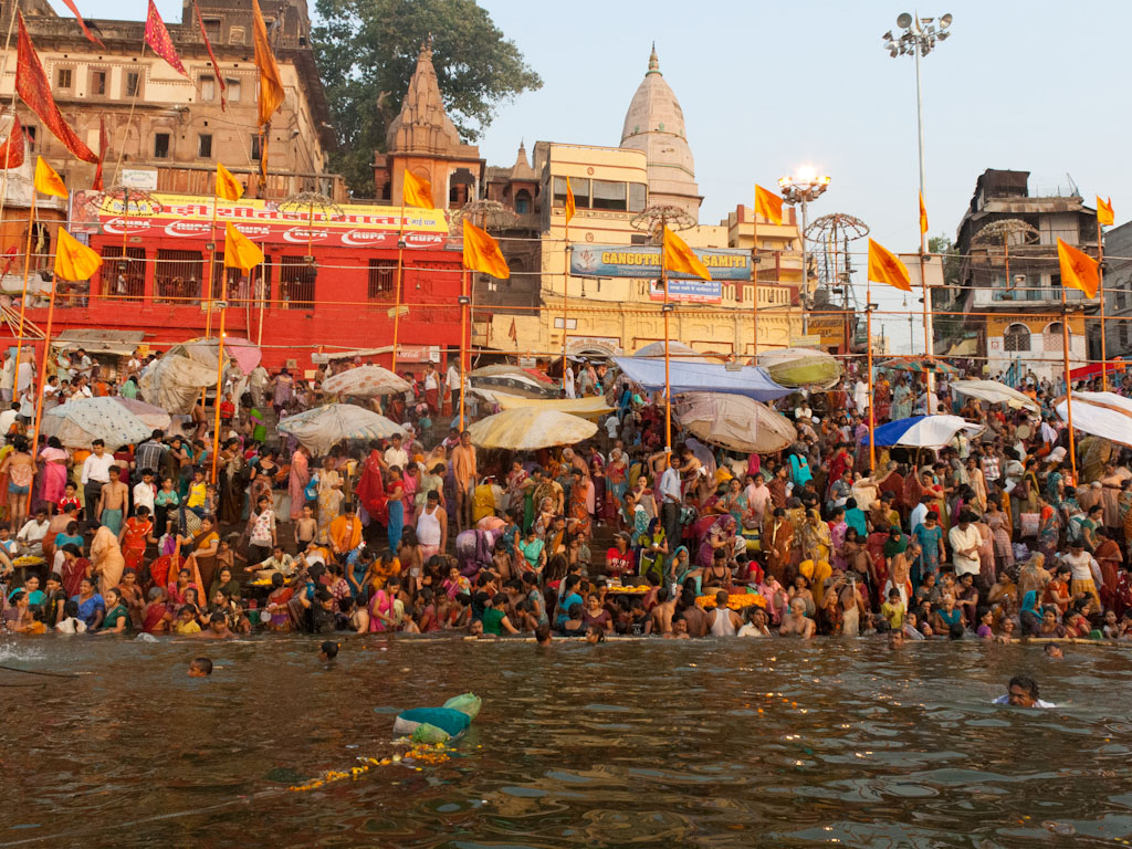
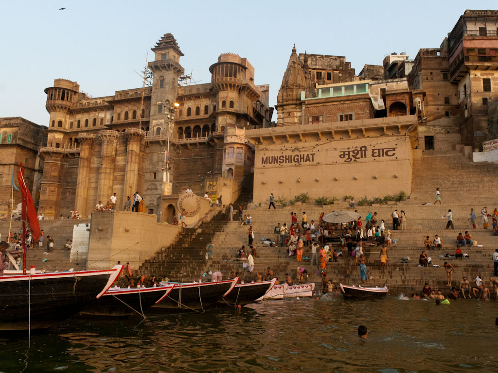
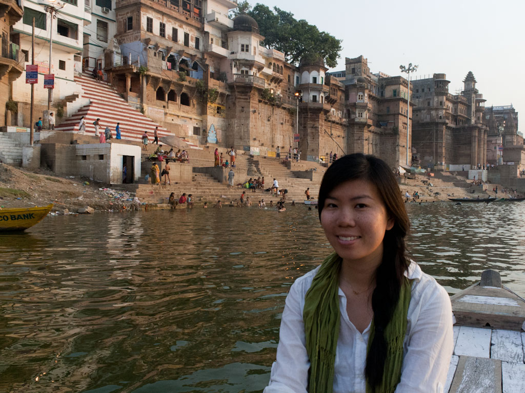
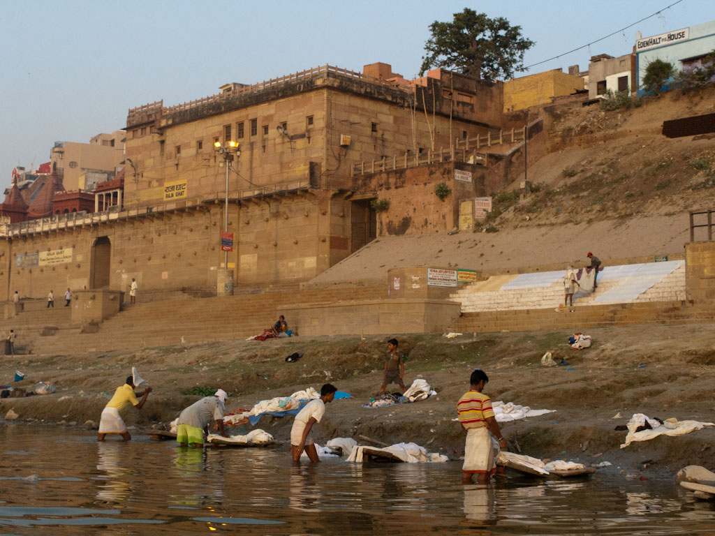
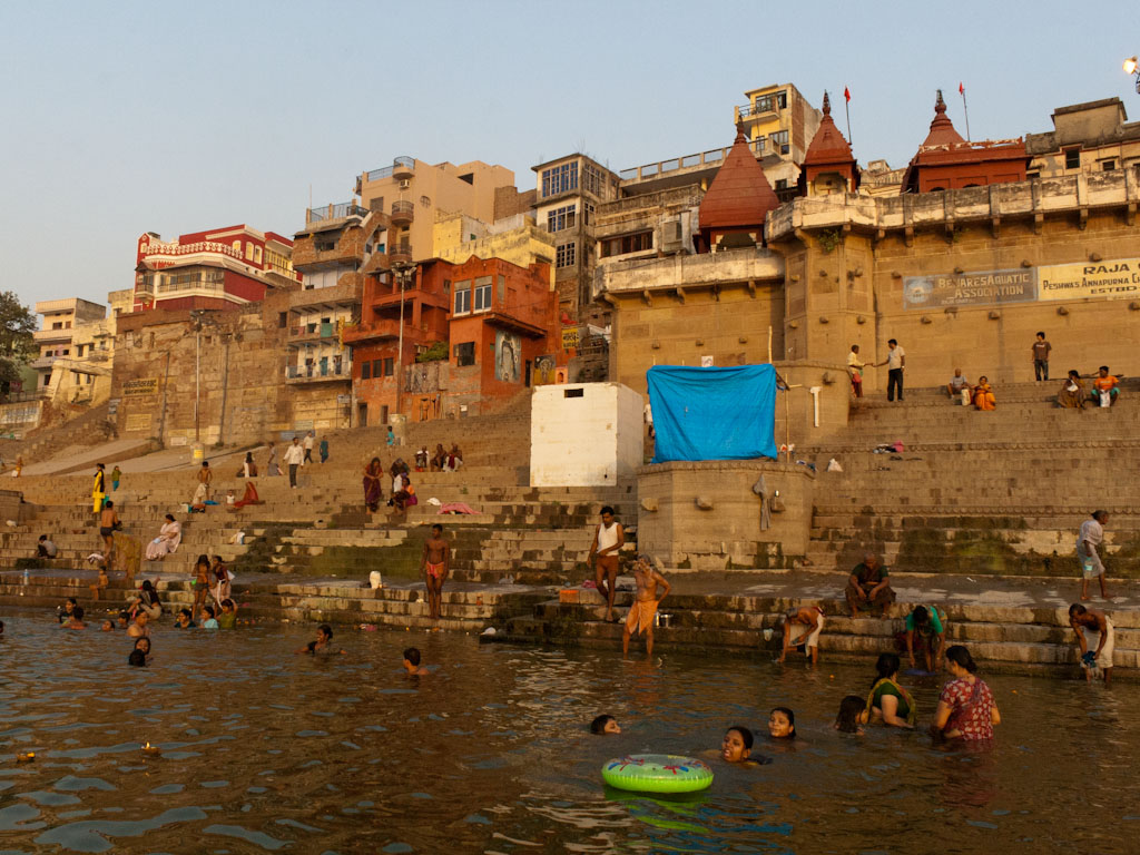
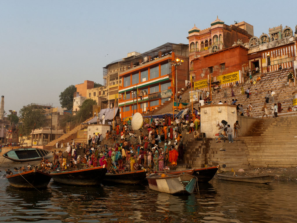
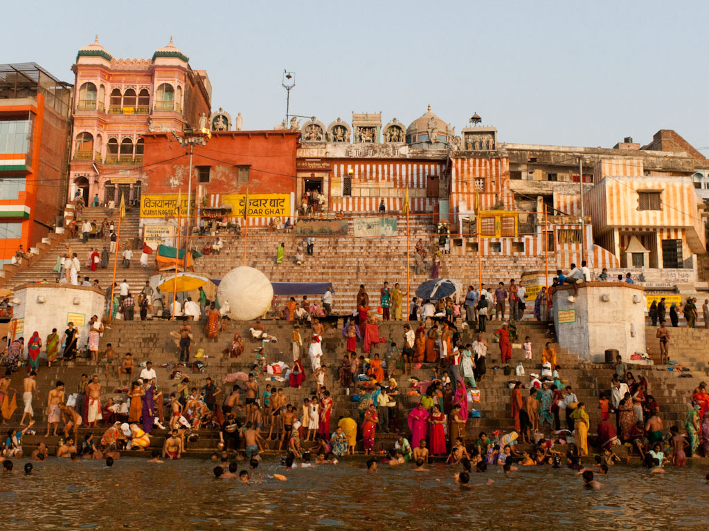
 in which pilgrims bathe</span><br><span class='slider-span'>The Paris of India, Jaipur, Rajasthan, India</span>")


, Delhi, India </span>")


</span>")